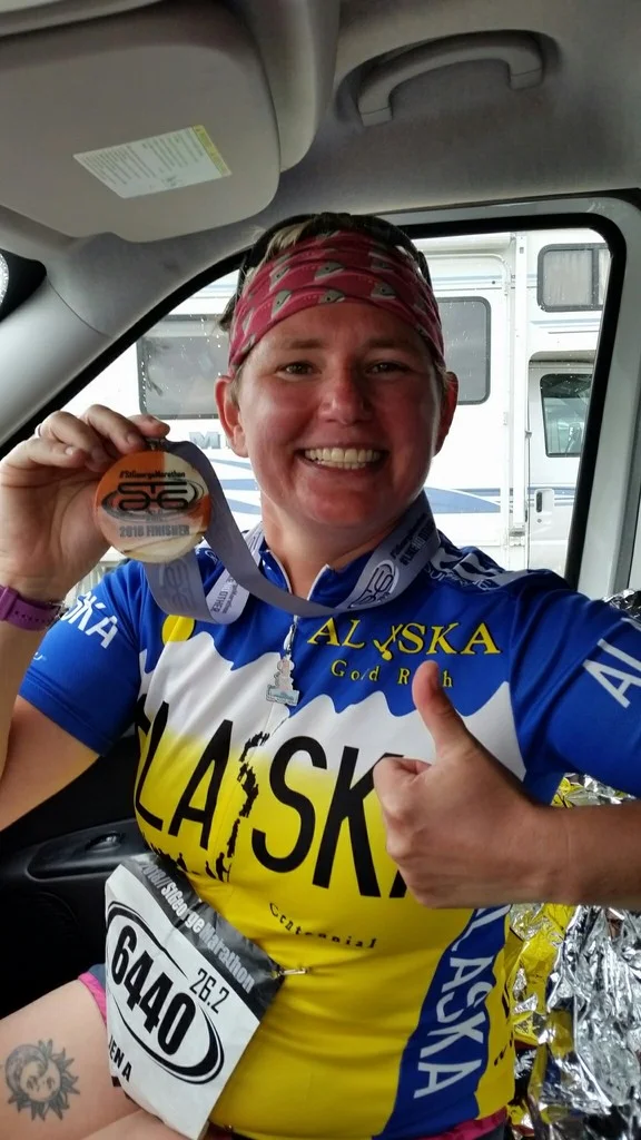
I was still taking the antimalarial medications from the Africa trip when I left for Utah in September. This was the trip I was most excited for when planning my summer hiatus from work. I almost went to Salt Lake City to run the marathon in July, but instead I checked the website for the St. George marathon, which had been on my list for several years. When I saw registration was still open, I asked Candace if she minded that I go. As always, her response was “Go for it”. That began the planning for a camper van in order to travel to all 5 national parks! It was an awesome surprise when my friend Andrea decided to join me on my adventure!
I arrived to Salt Lake City in the afternoon. My hotel was downtown and I had some time, so I visited Temple Square. Despite the crowd, I found it to be very peaceful there. My favorite part was the Visitor Center, where a young woman taught me about the temple and showed me the scale model of what the inside of the temple looked like.
My friend Andrea arrived that evening and we walked to an excellent restaurant called the Tin Angel. We spend the evening eating great food and getting excited for the National Park adventure. I made up an itinerary before we arrived, so that we could make the best use of our time in the parks.
That next morning, we picked up our camper van from Basecamper Vans. I was impressed. The van came with everything- sleeping bags, cookware, stove, gas. Also included was a yeti cooler, complete with 2 blocks of ice, and a prefilled water jug. We were ready to hit the road.
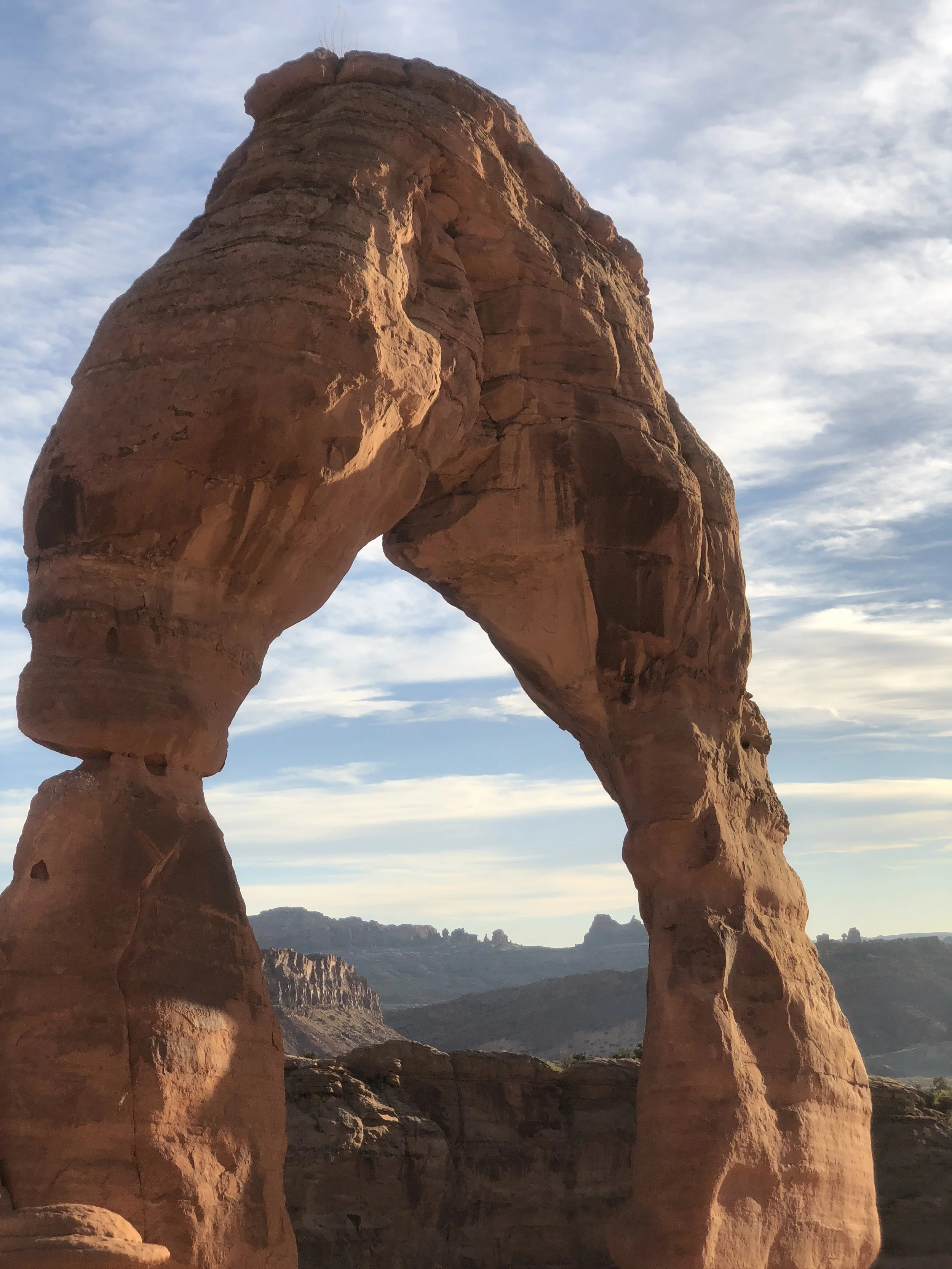
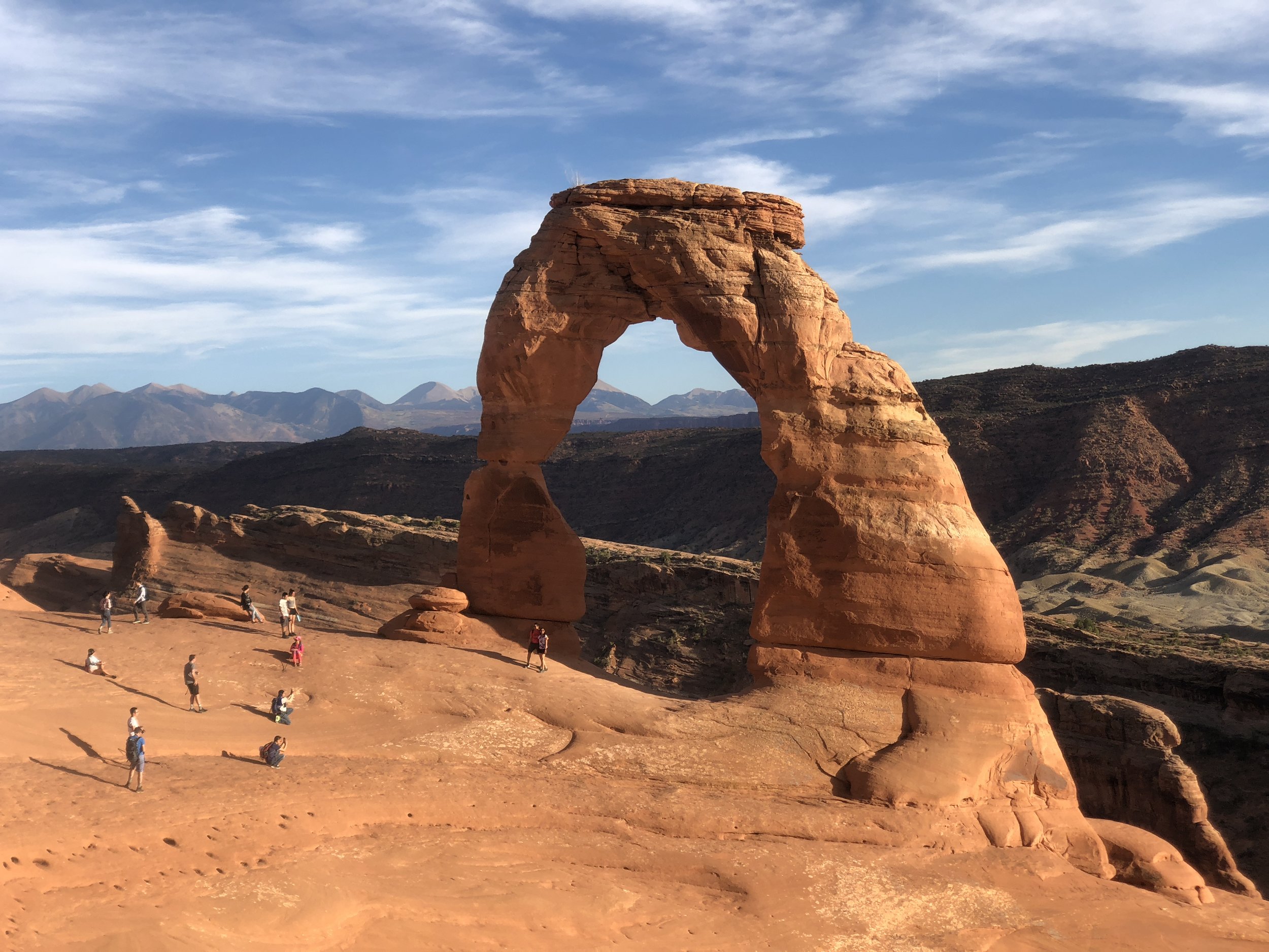
We made the long drive to Moab first to visit Arches National Park. It took us about 4.5 hours to make the drive, and we made it to the park by late afternoon. First thing we did was drive straight to Delicate Arch to do the 3-mile hike at sunset. I was so excited to be making this trek on our first full day in Utah, as this Arch was one of the reasons I wanted to visit Utah. The hike was a bit challenging in the heat of the afternoon. I’ll never forgot rounding the corner and getting my first view of this iconic arch.


In the dark, we made our way to camp. We had planned to eat dinner in restaurants and make breakfast and lunches in the van. With the late arrival, we ate cereal for dinner that first night. It was the best tasting cereal I have eaten! We prepared the van for sleeping, and ended up leaving the bed down the whole trip. We still had plenty of cubbies and space to hold our gear.
We learned to work the stove and made eggs, sausage and potatoes for breakfast. The van also included coffee and a coffee maker. After breakfast, we made the short drive back to Arches Park and stopped at viewpoints along the way.

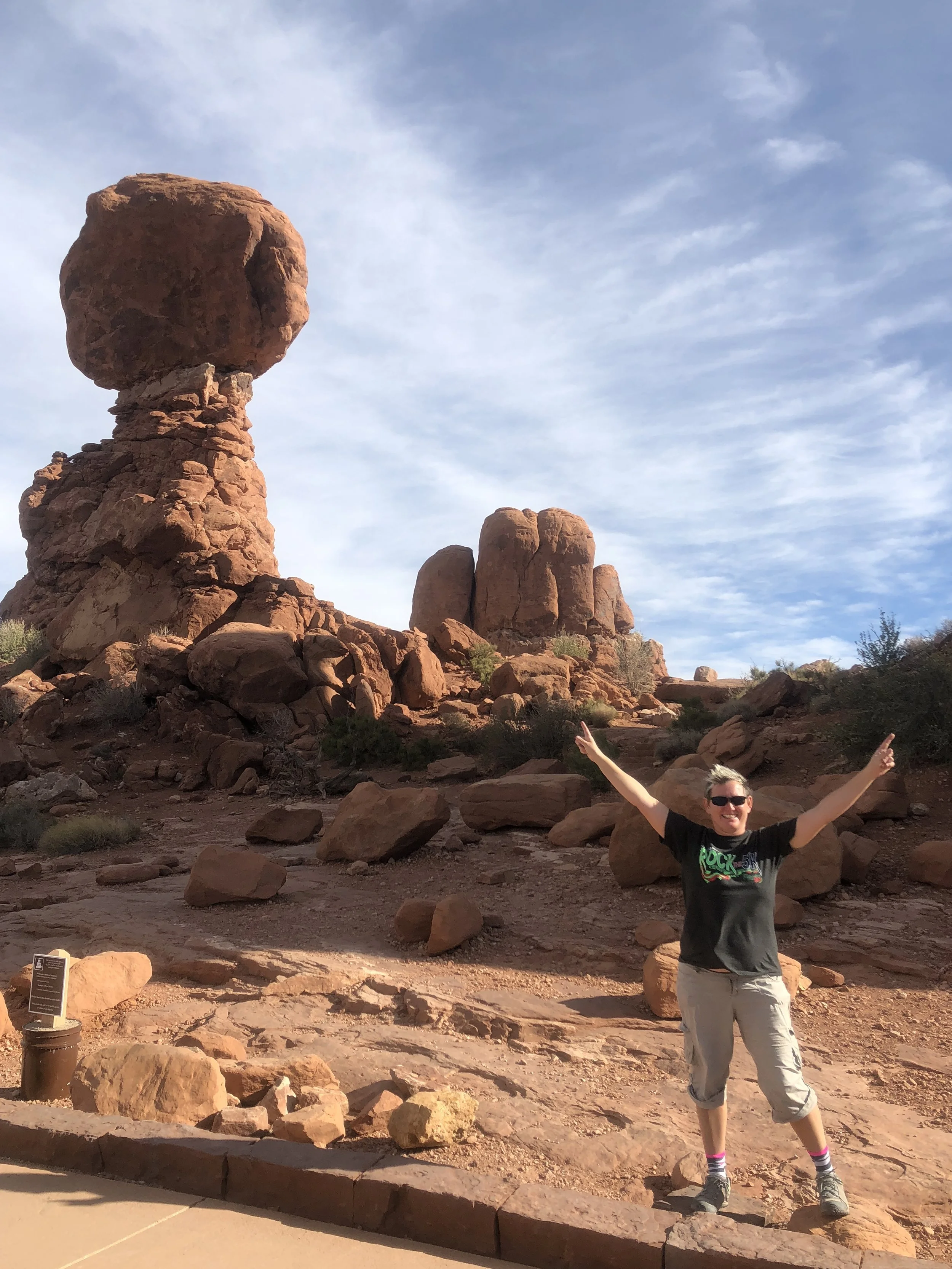
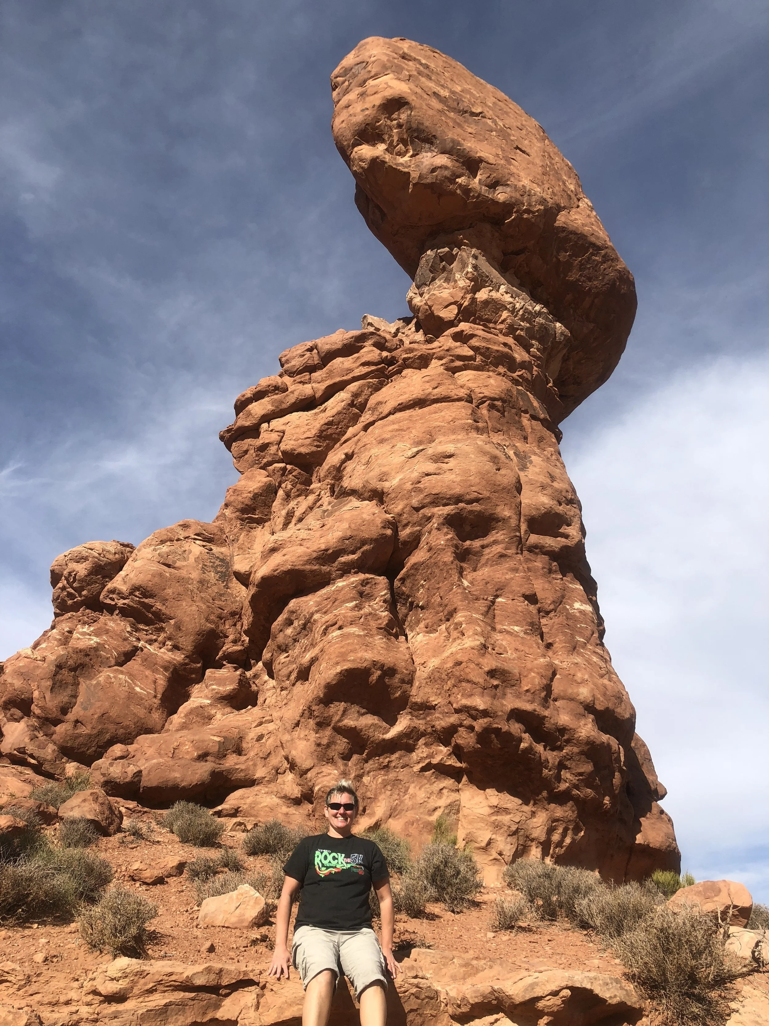
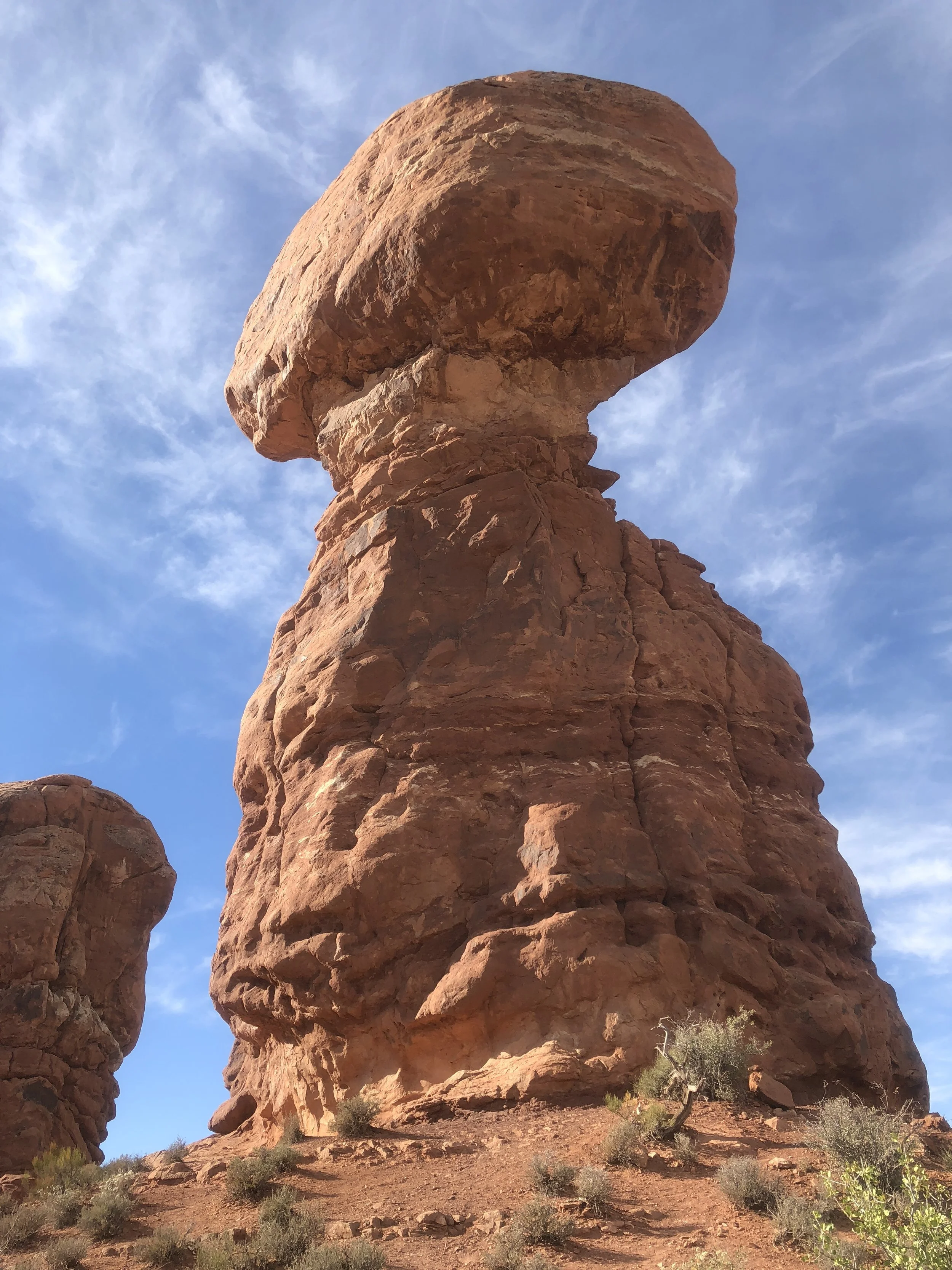
Arches Park is set up with some short hikes right off the park road. The first walk we did that morning was Balanced Rock. A mostly paved trail encircles this giant structure.
Next, we walked to Skyline Arch, just 0.2 miles from the park road.
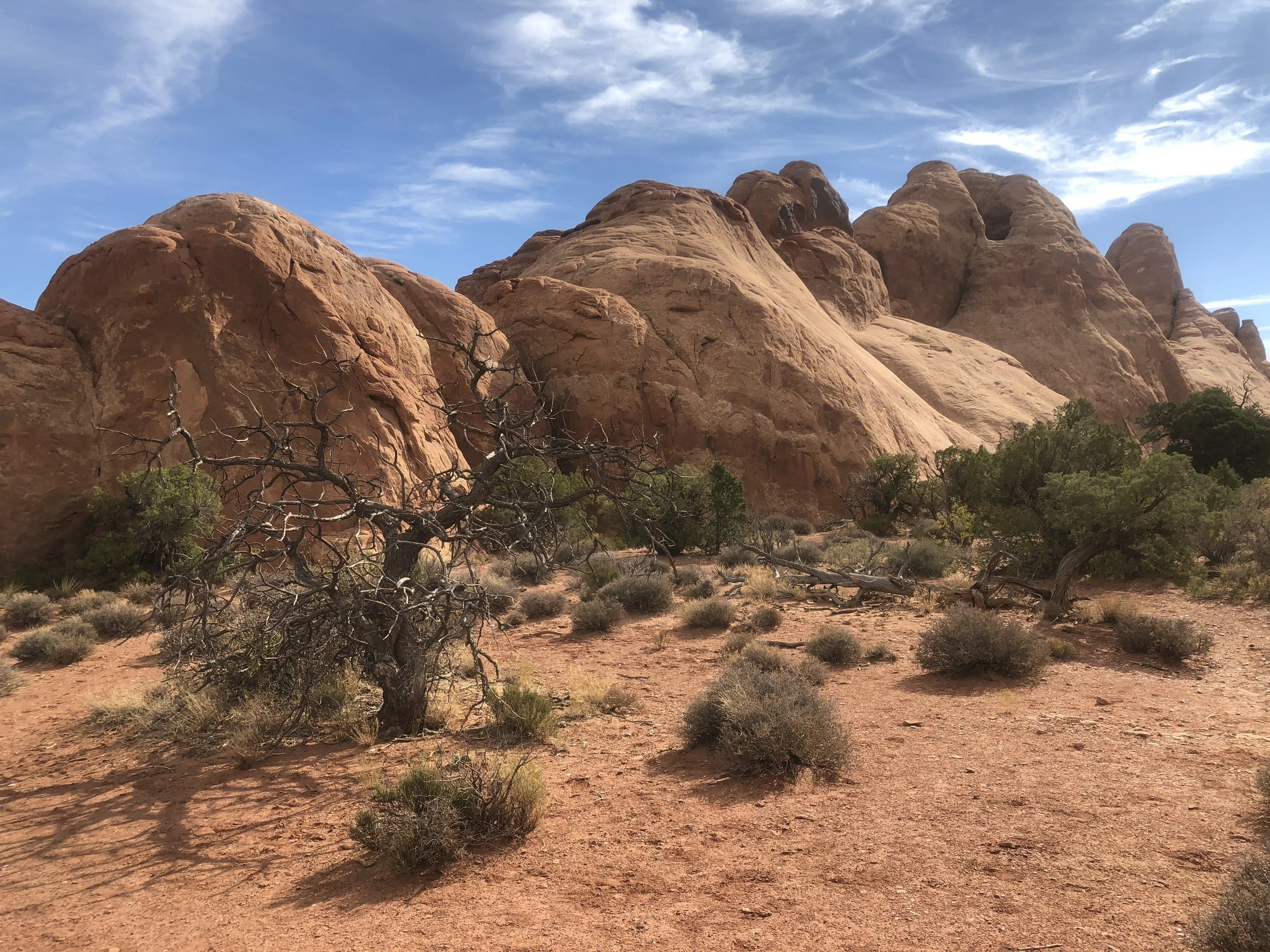

We drove to the end of the park road, where a crowded parking lot lead to the trailhead of the Devil’s Garden hike. This is a 7.2-mile hike, although part of the hike is primitive with difficult footing and exposed areas. We opted instead to make the journey to Landscape Arch and back, about 1.6 miles. Landscape is the longest arch in the park.


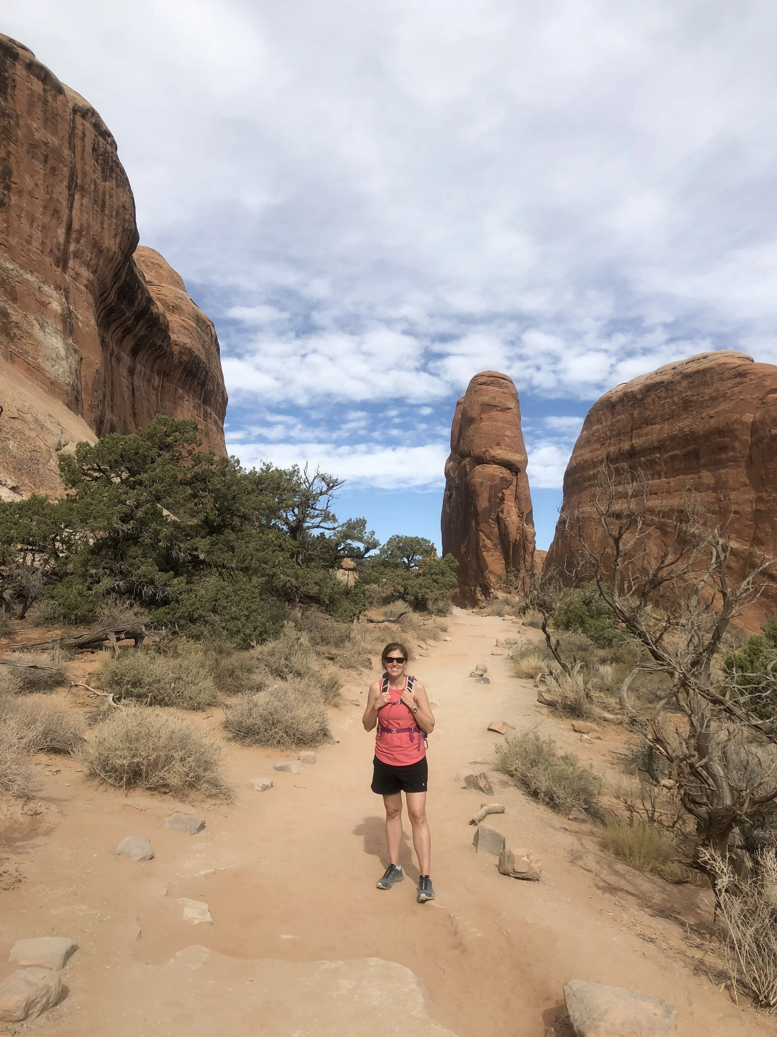


We were also able to hit two other short side trails to view 2 more Arches! This hike is a must do when visiting the park. There was also a great picnic area here where we had lunch.


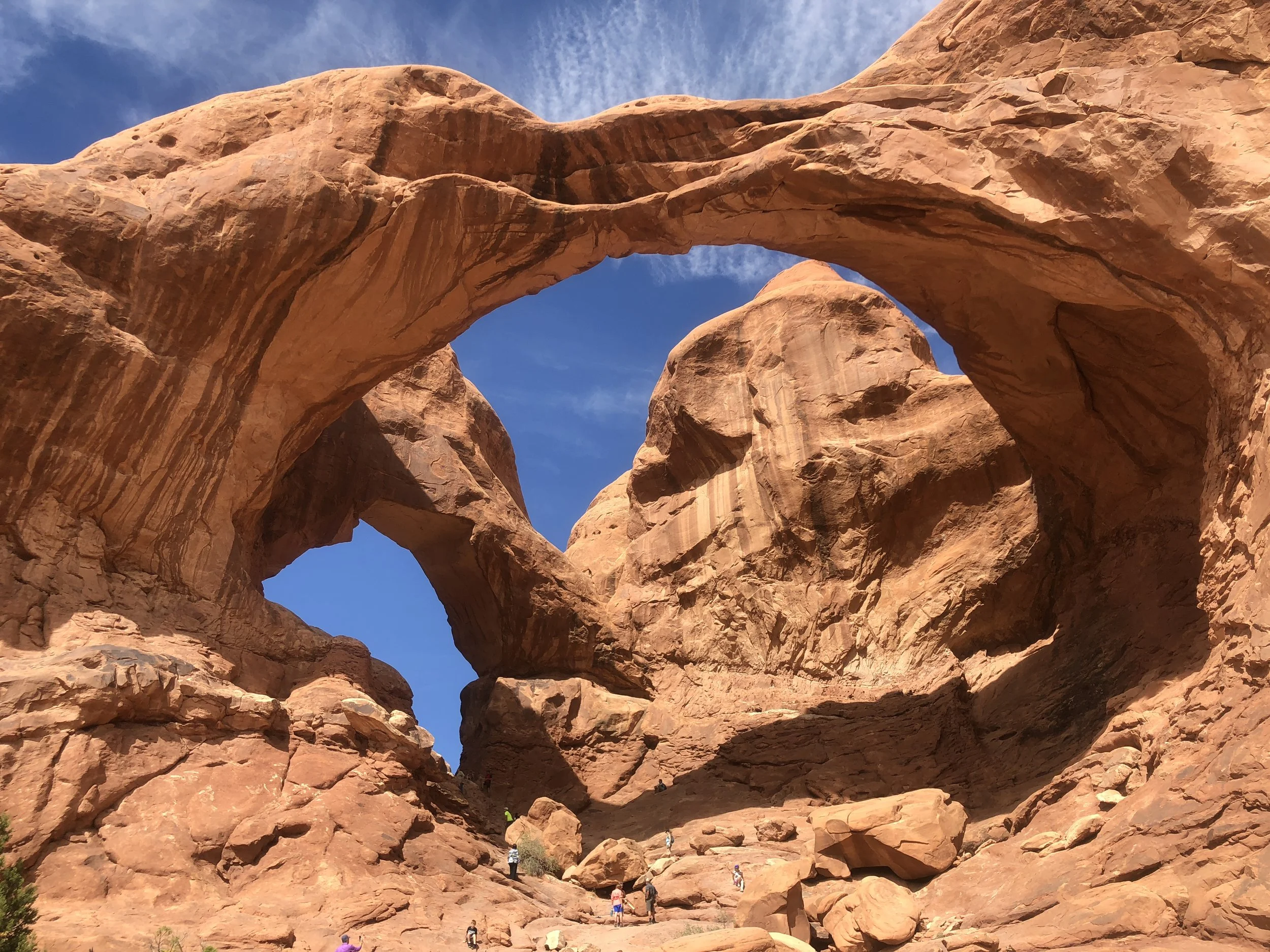
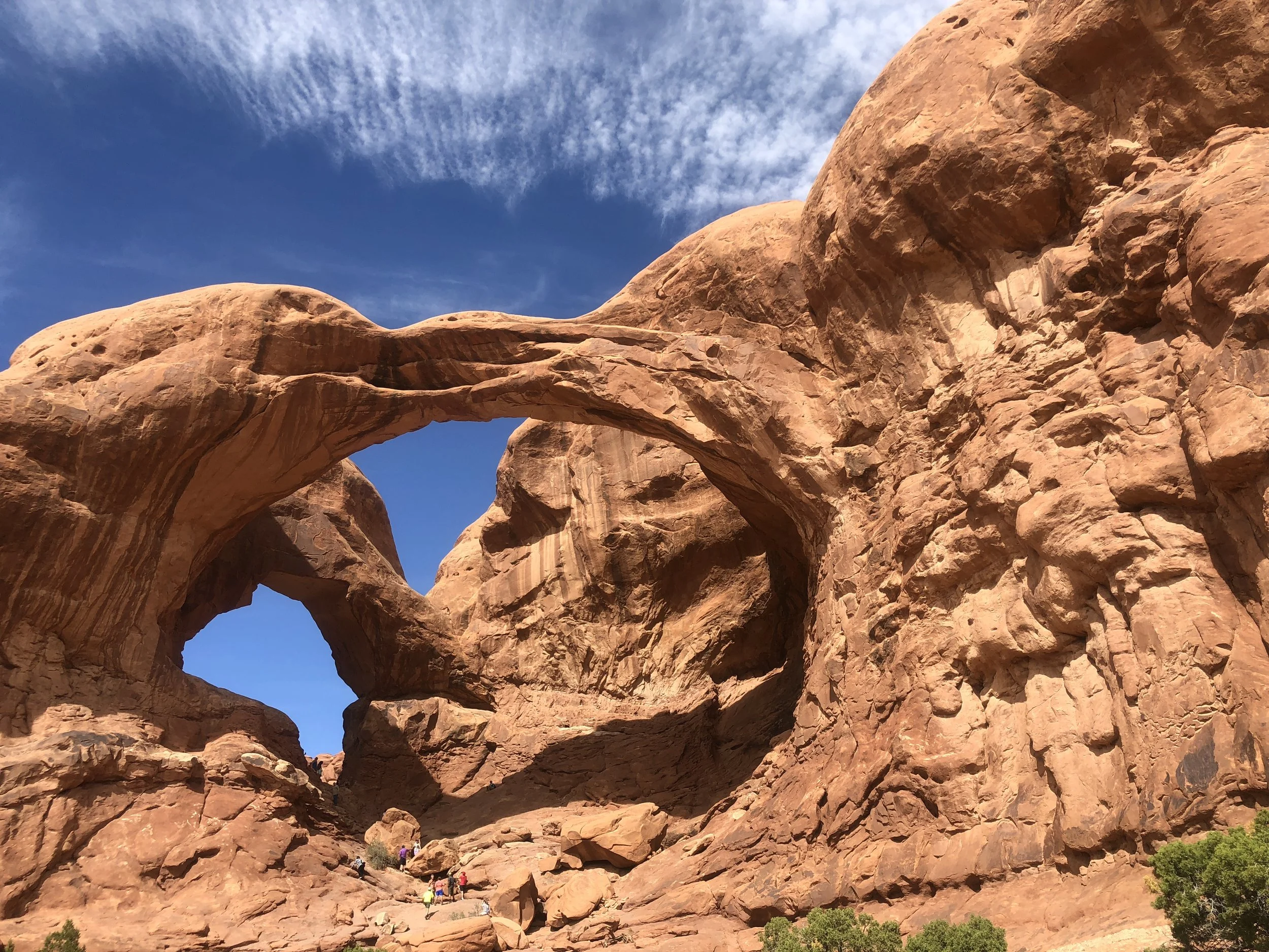
We drove to the Windows section of the park and found a wonderful surprise, the Double Arch. This was my favorite arch of the day! I tried to climb up the steep inner circle of the arch, but the footing was precarious, so I chose to stop short.



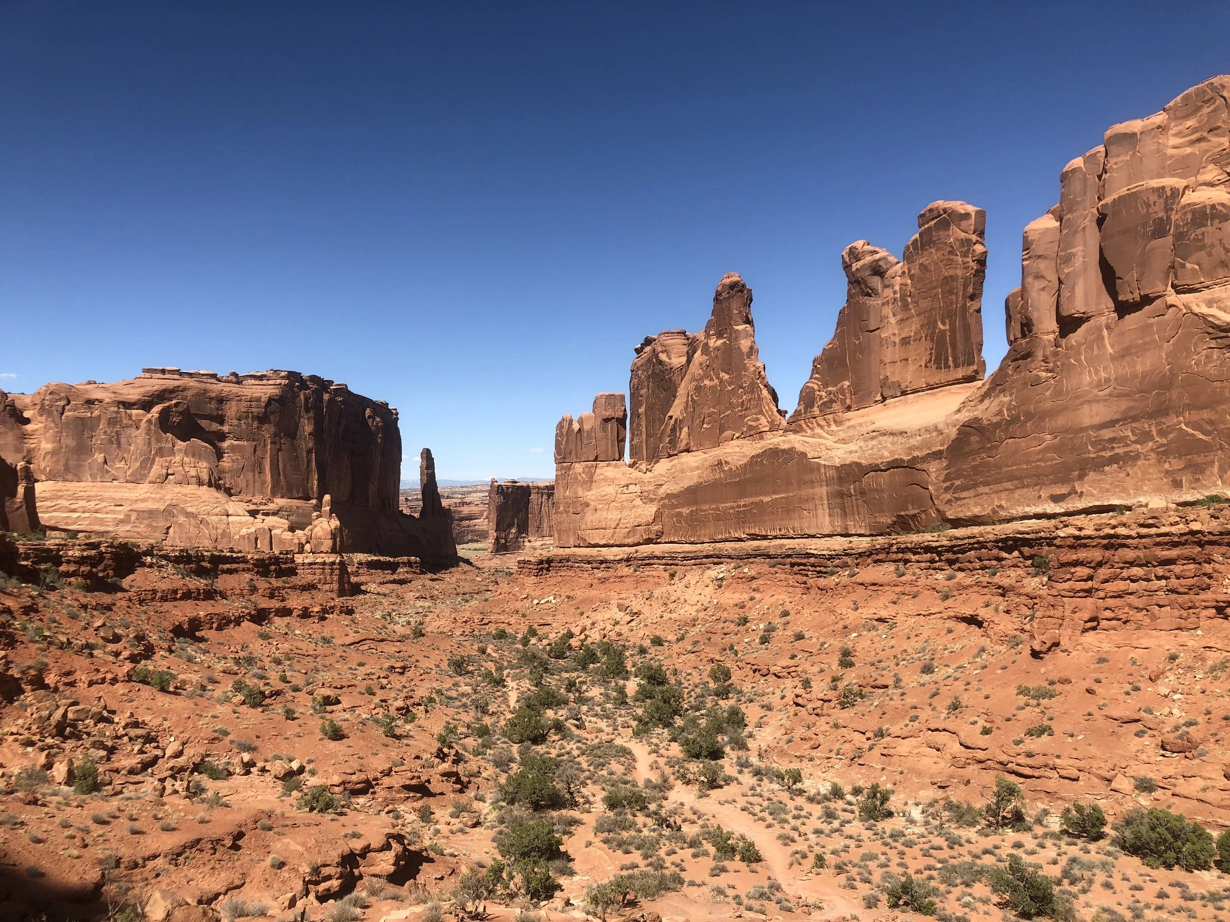
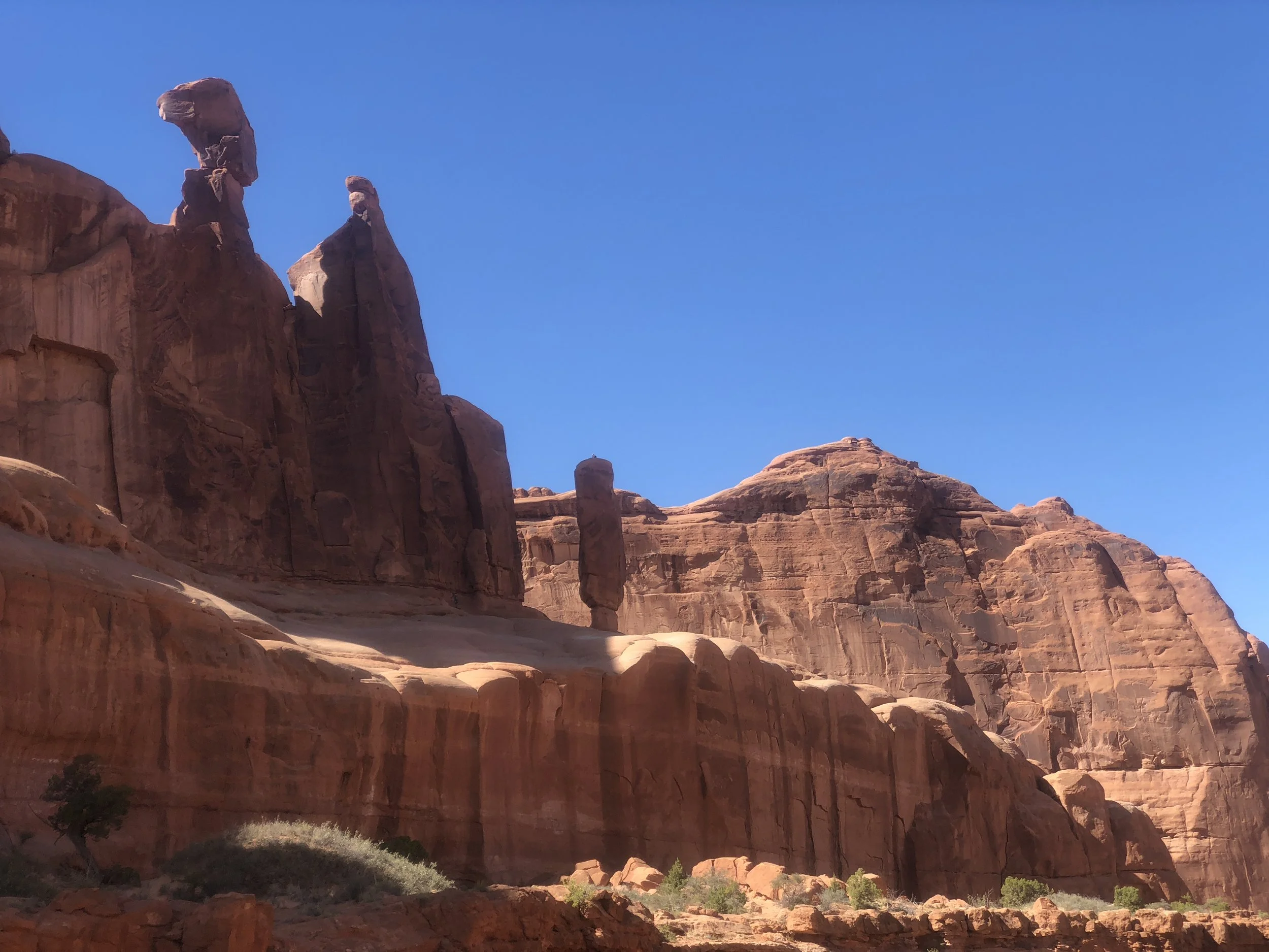
One last viewpoint was on Park Avenue, a short hike near the park entrance. We just stopped for a view here, as the heat of the day was making hiking more challenging.

The itinerary I created was ambitious. Luckily, Andrea is also an adventurous person with the same goals in mind. After a great morning and early afternoon, we drove about 30 minutes to our next destination, Dead Horse State Park. My park pass did not get us into this park, so we split the $20 admission. I was disappointed in this park, as there was a mine at the bottom of the canyon with created salt ponds. The white colors of the ponds looks unnatural in relation to the surrounding canyon. A highlight here though, was taking a break to drink a root beer float.
After a nice break on the porch sipping our libations, we made the short drive to Canyonlands National Park. We drove straight to the Grand View Point trailhead and made the 2-mile hike along the rim of the canyon. Peeking over the rim can be a dizzying experience! We had to follow Cairns to find our way on this exposed trail.


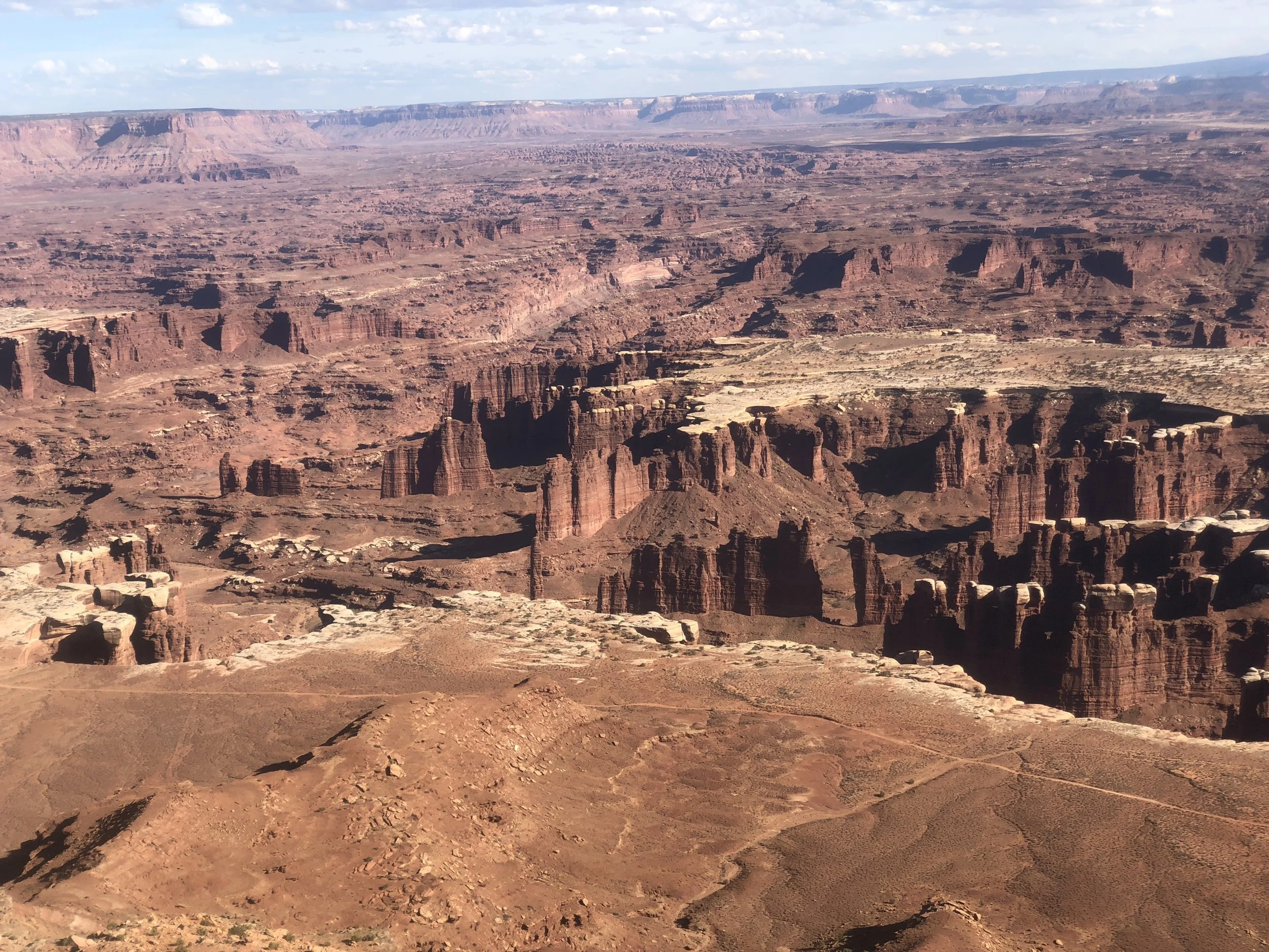
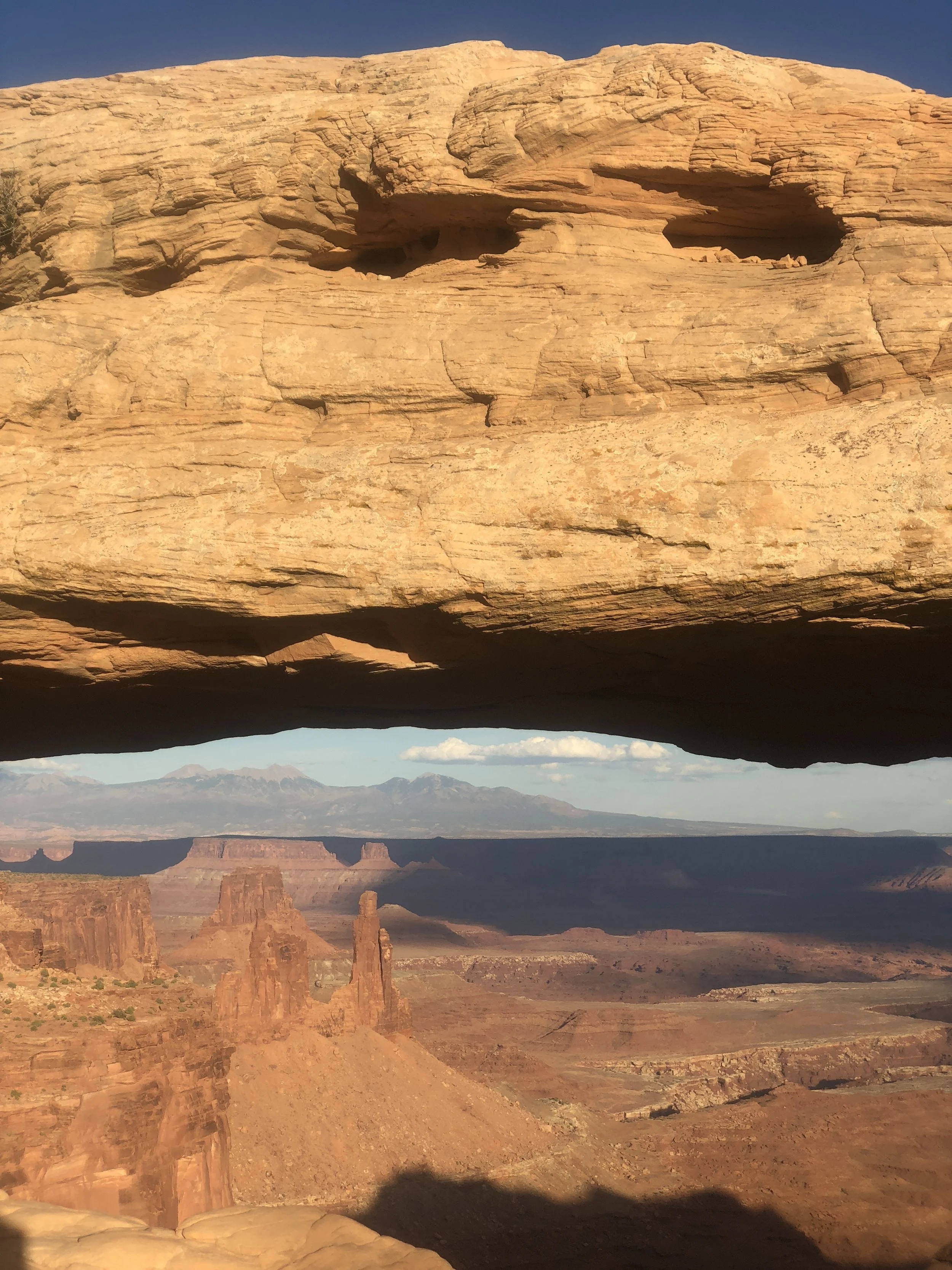
By sunset, we did our last hike of the day, Mesa Arch. This is the most photographed Arch in Canyonlands, and is best viewed at sunrise.


The next day, we planned to drive to Bryce National Park. With all day to get there, we decided to take the long way and drive the most scenic highway in Utah, highway 12.
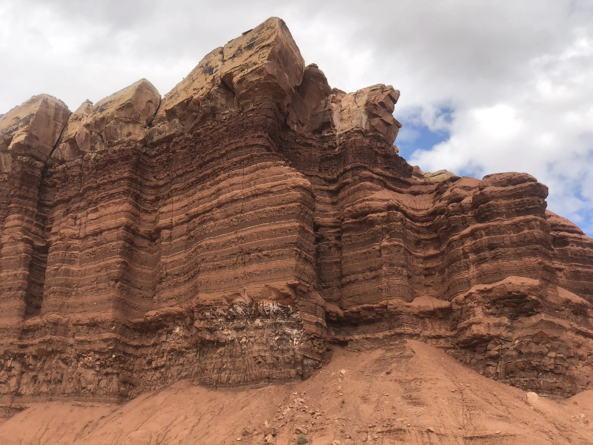
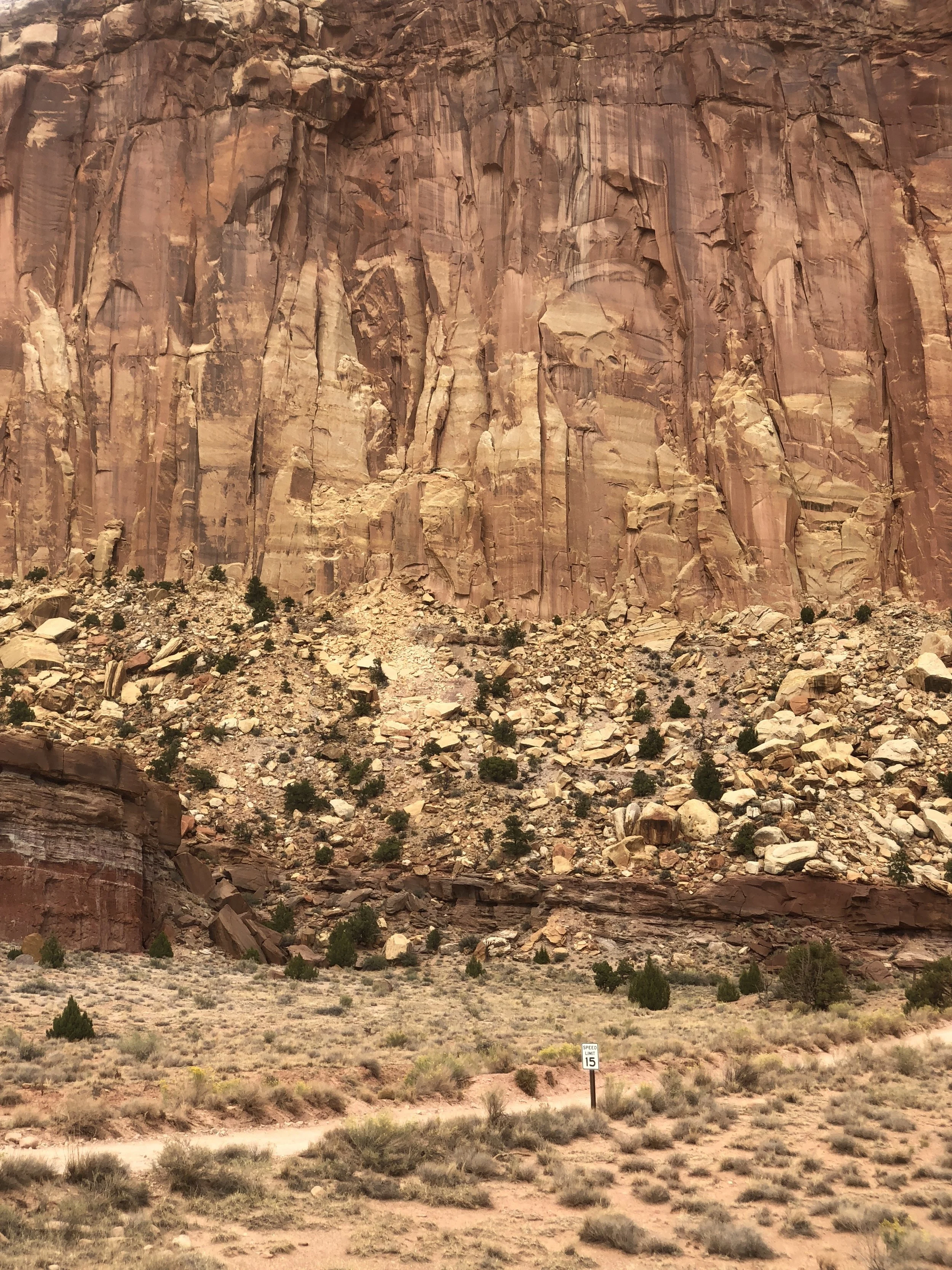
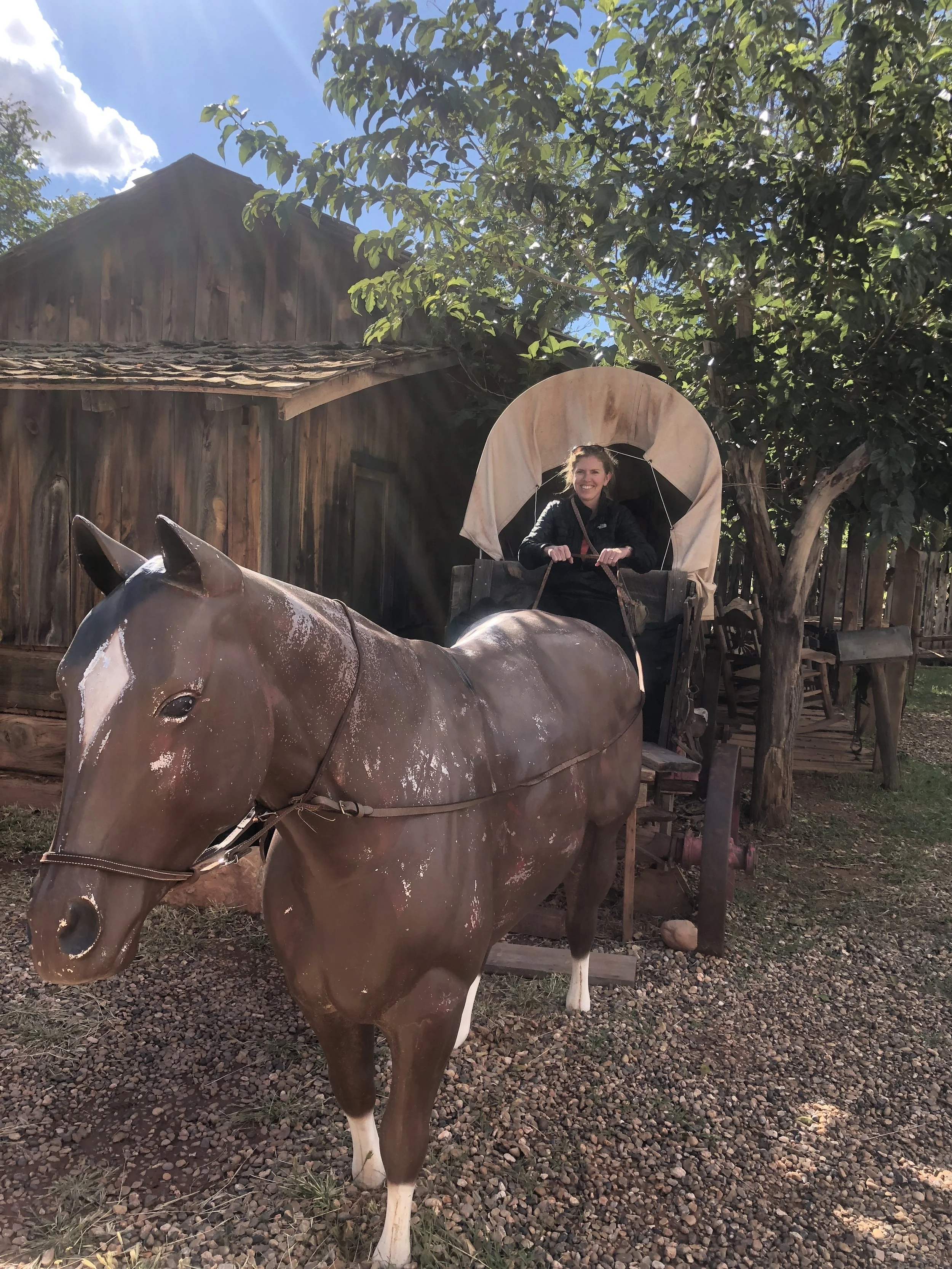
On the way, we stopped at Capitol Reef National Park. This is the least visited of Utah’s big 5, probably due to it’s location. Both of us really enjoyed our afternoon here. With limited time, we visited the petroglyphs via a short, wooden bridged trail. Then we parked near the iconic barn, petted the horse, and bought a pie from the country store, yum!
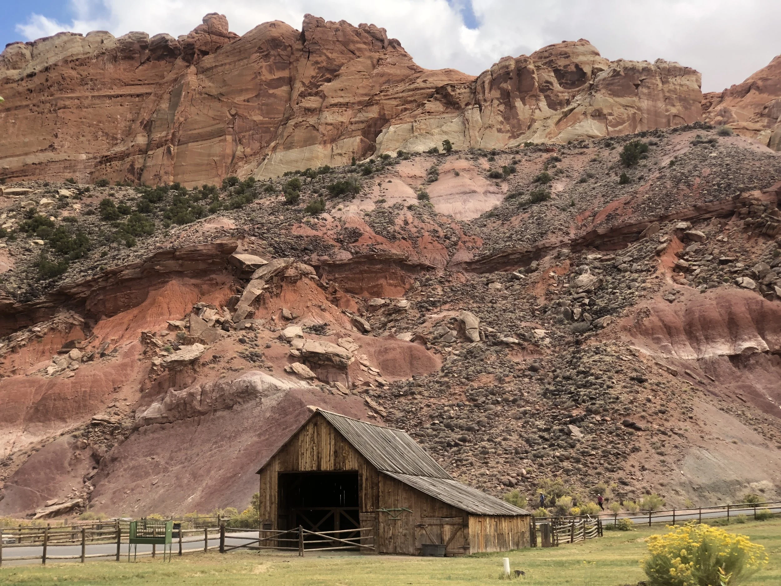


We drove the park road to the end of the pavement. A dirt road continued beyond this point for a couple more miles. We were both in awe of this fantastic place. On the way out, we took a short side trip to Gooseneck trail for a sweeping view of the landscape.
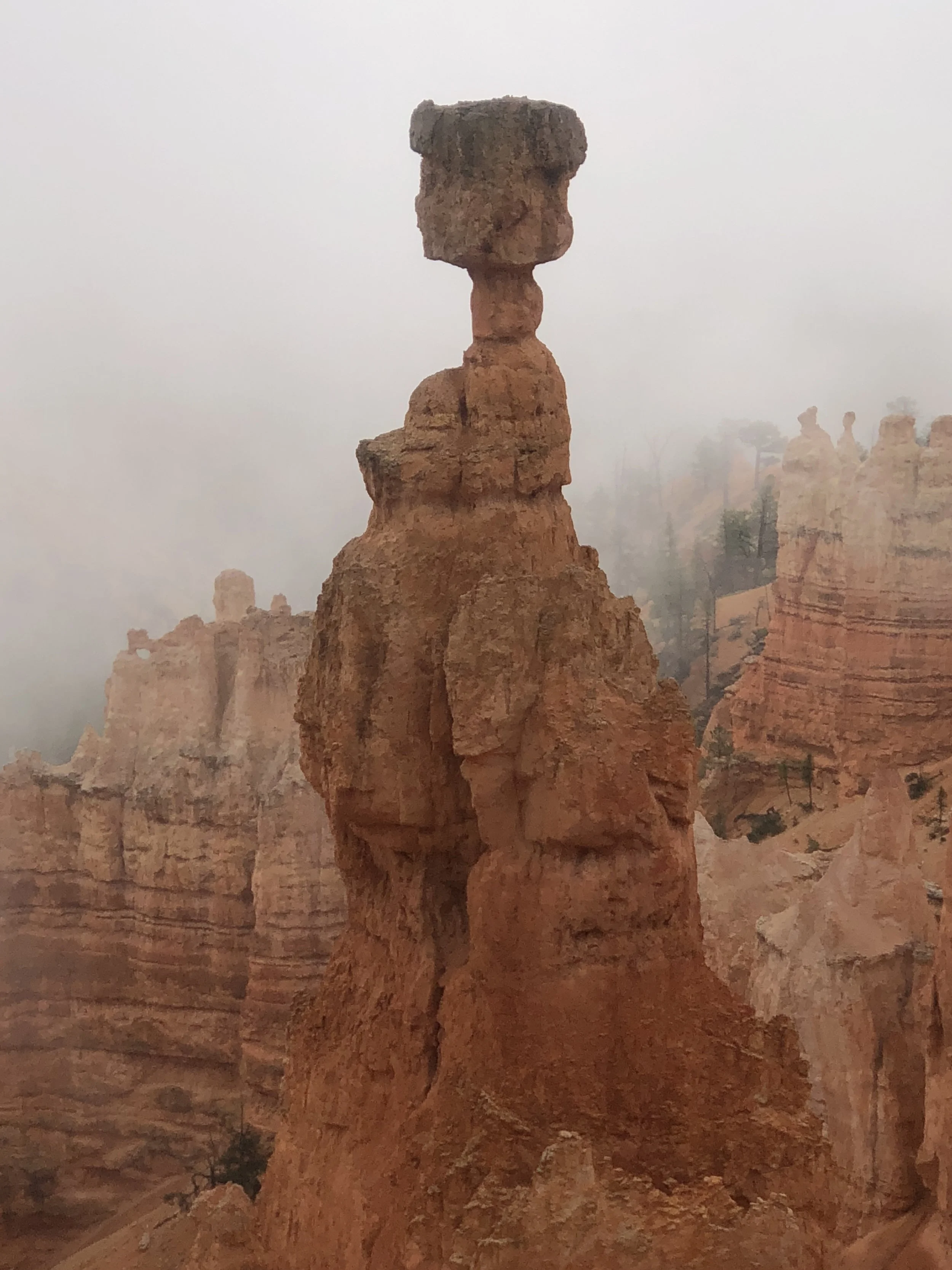
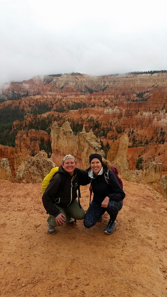
We spent the night at Ruby’ Inn Campground, right outside the park entrance. A nearby hotel served a buffet dinner, where I had a really tasty piece of cake for dessert. The next morning, we woke up to pouring rain. The sign at the park entrance for Bryce stated “no refunds” due to limited views at all viewpoints. I didn’t have my hopes up that we would get a hike done. We spoke to the ranger to get some ideas, and he suggested we pack our gear before walking to the viewpoints, and if the weather improved, we could go for it and hike. We took his advice and when we reached Sunrise point, the rain softened to a drizzle. As fog still hung around the hoodoos, we had a window and started hiking. We hiked the Queens Garden/Navajo Loop combination. This hike hits some signature features in a relatively short hike just under 3 miles. We stopped every couple feet to take pictures. I have never seen such vibrant colors, the orange hoodoos popping against the foggy backdrop. It was amazing!


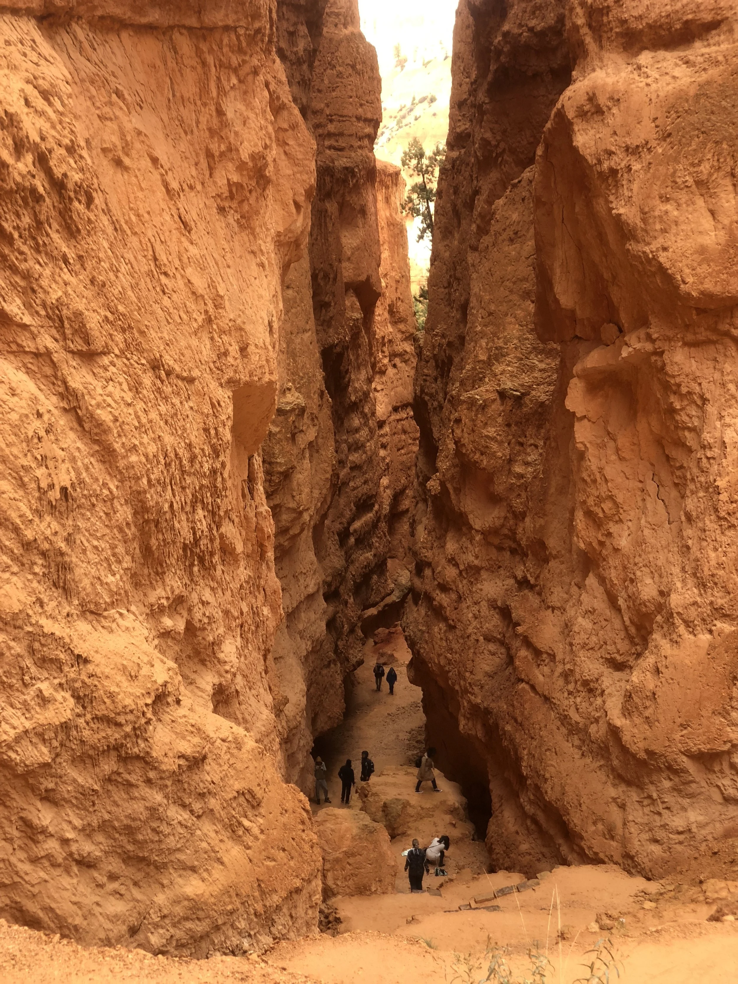


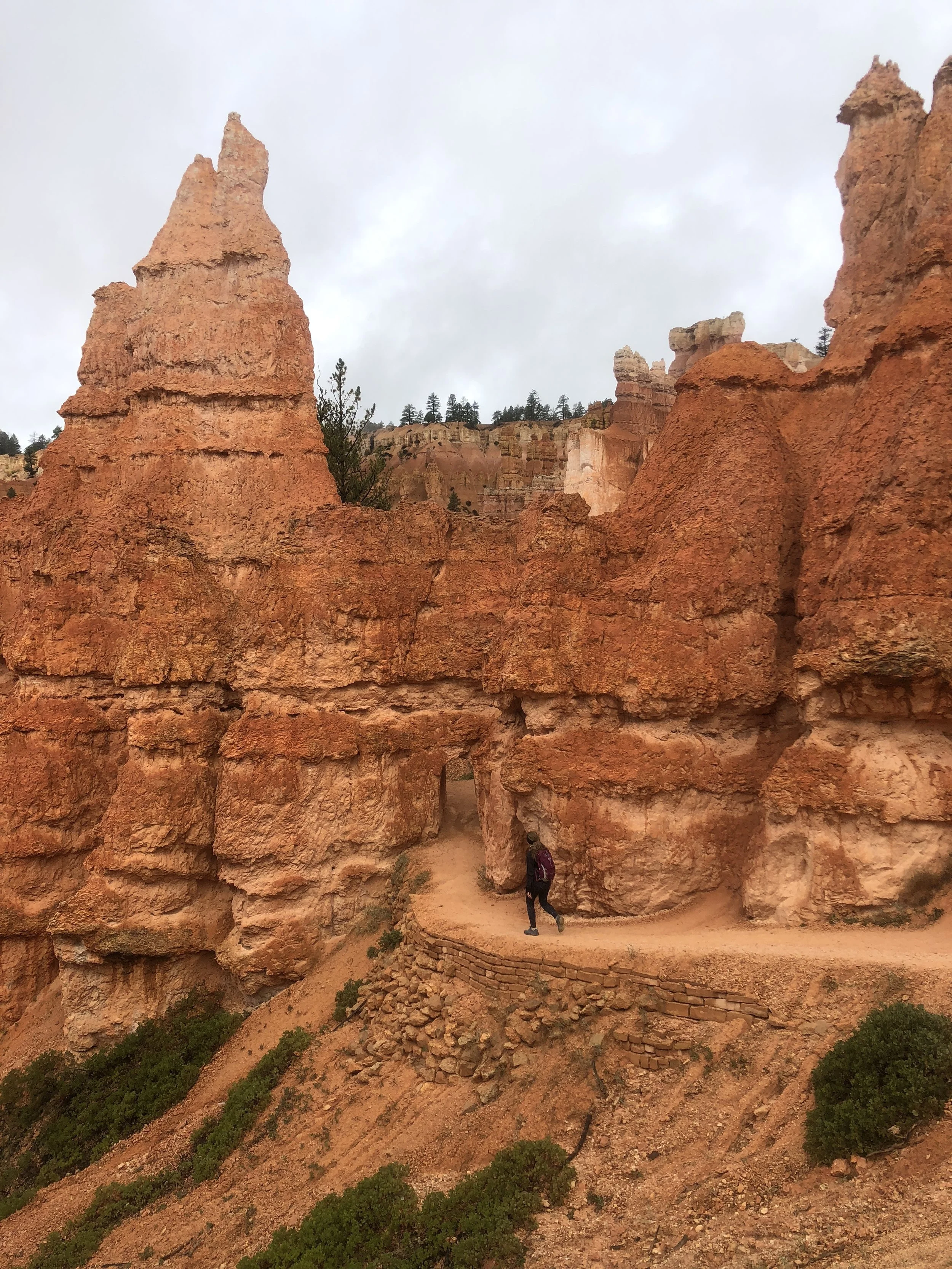


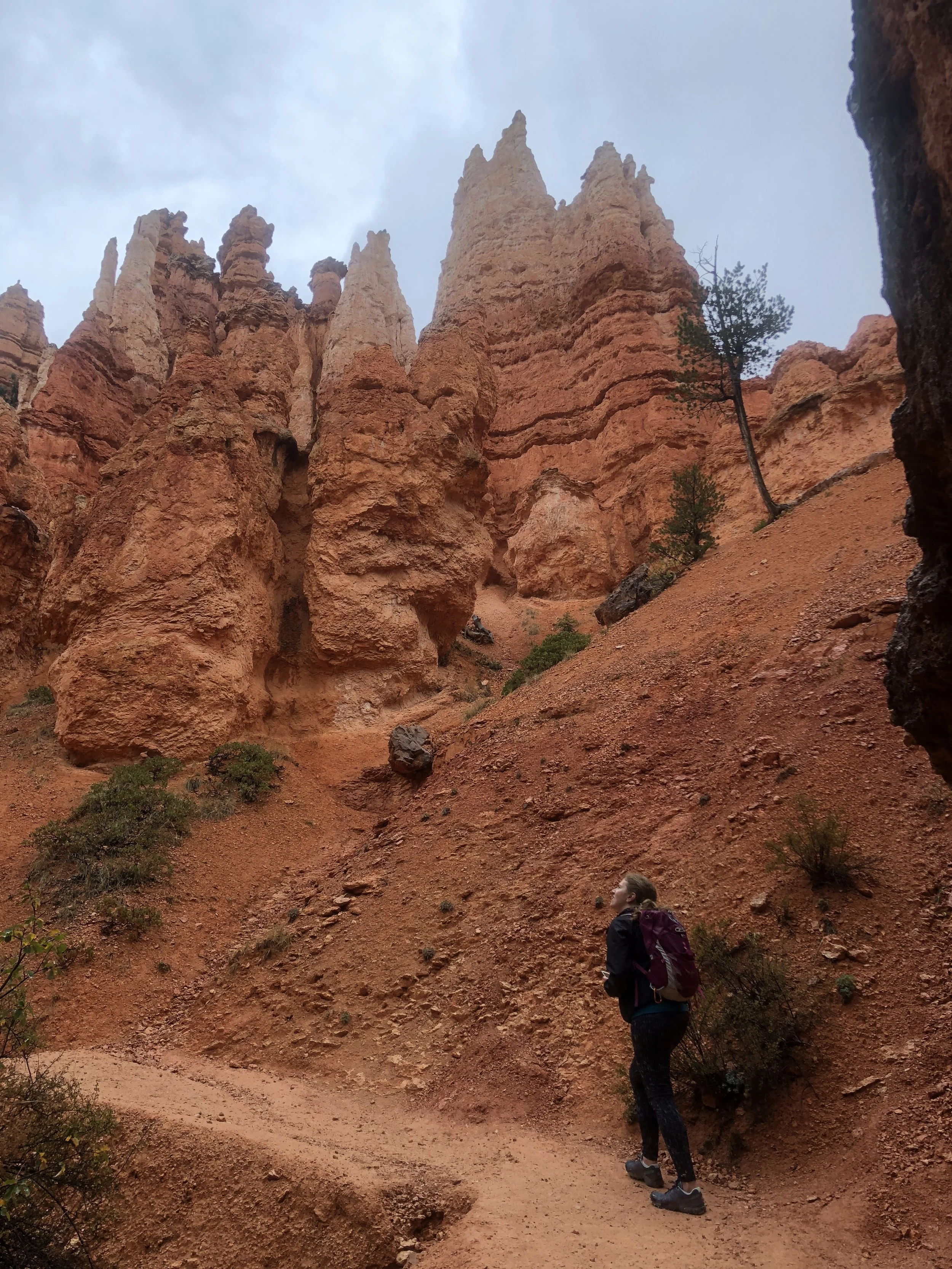
On the hike back, we took a short side trip to see the iconic Thor’s hammer. I was surprised by the amount of people despite the weather. I liked watching the tourists carry their umbrellas on the trail.


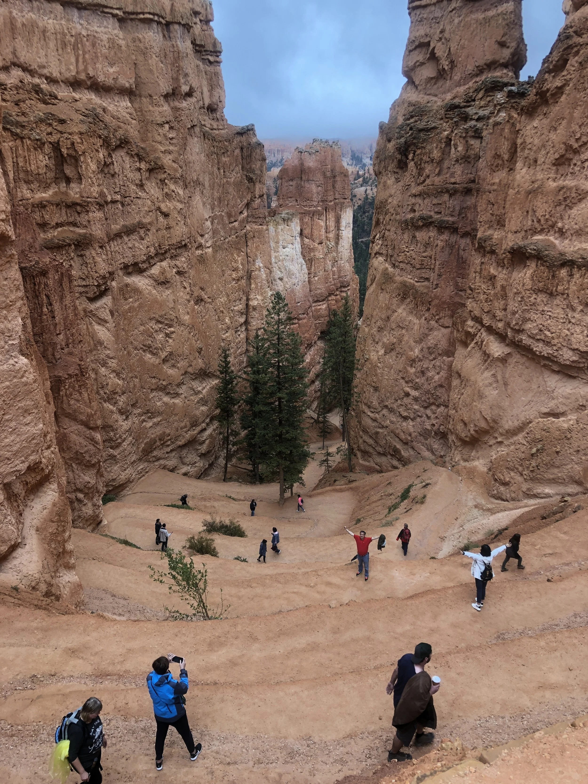


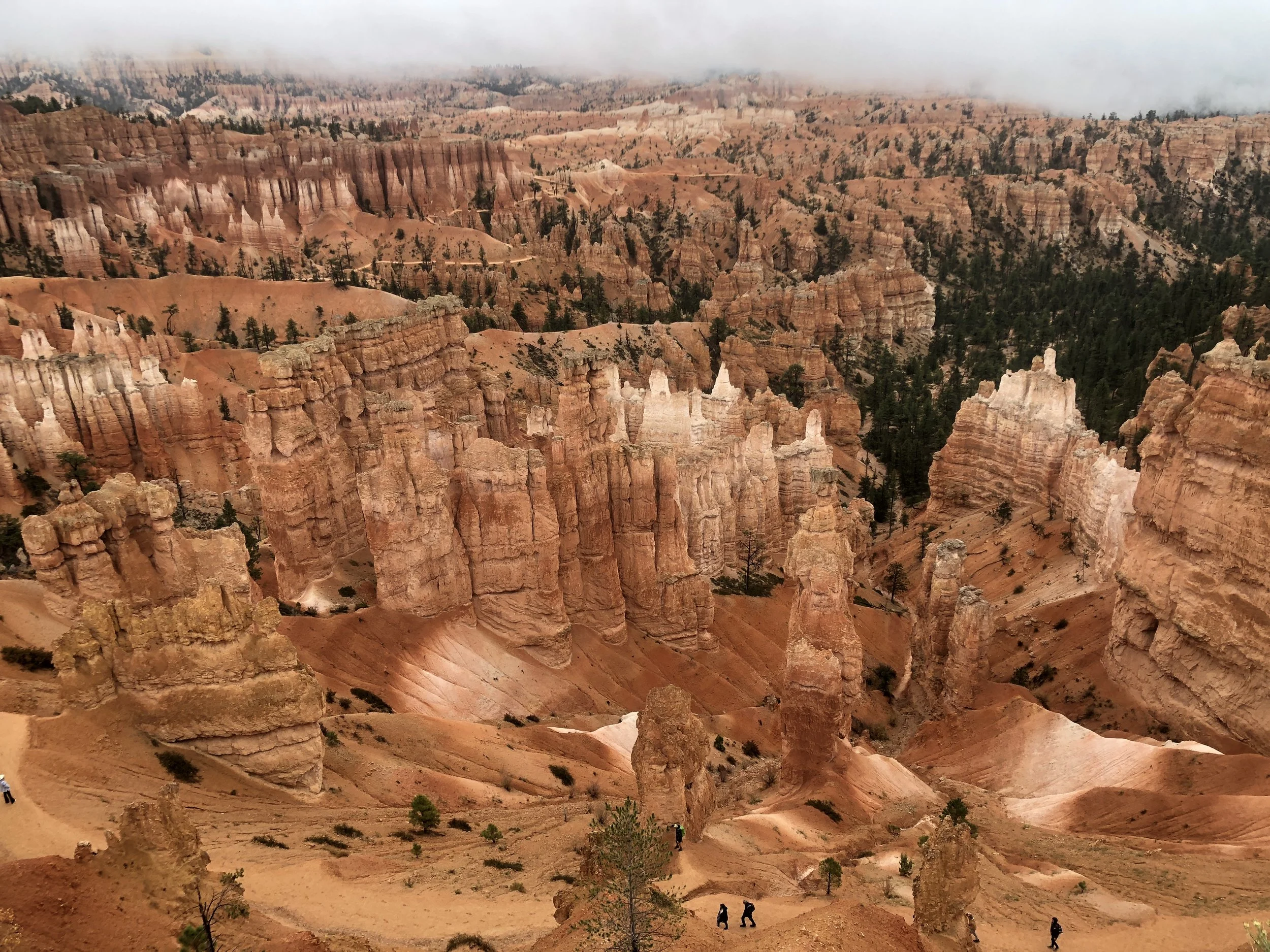


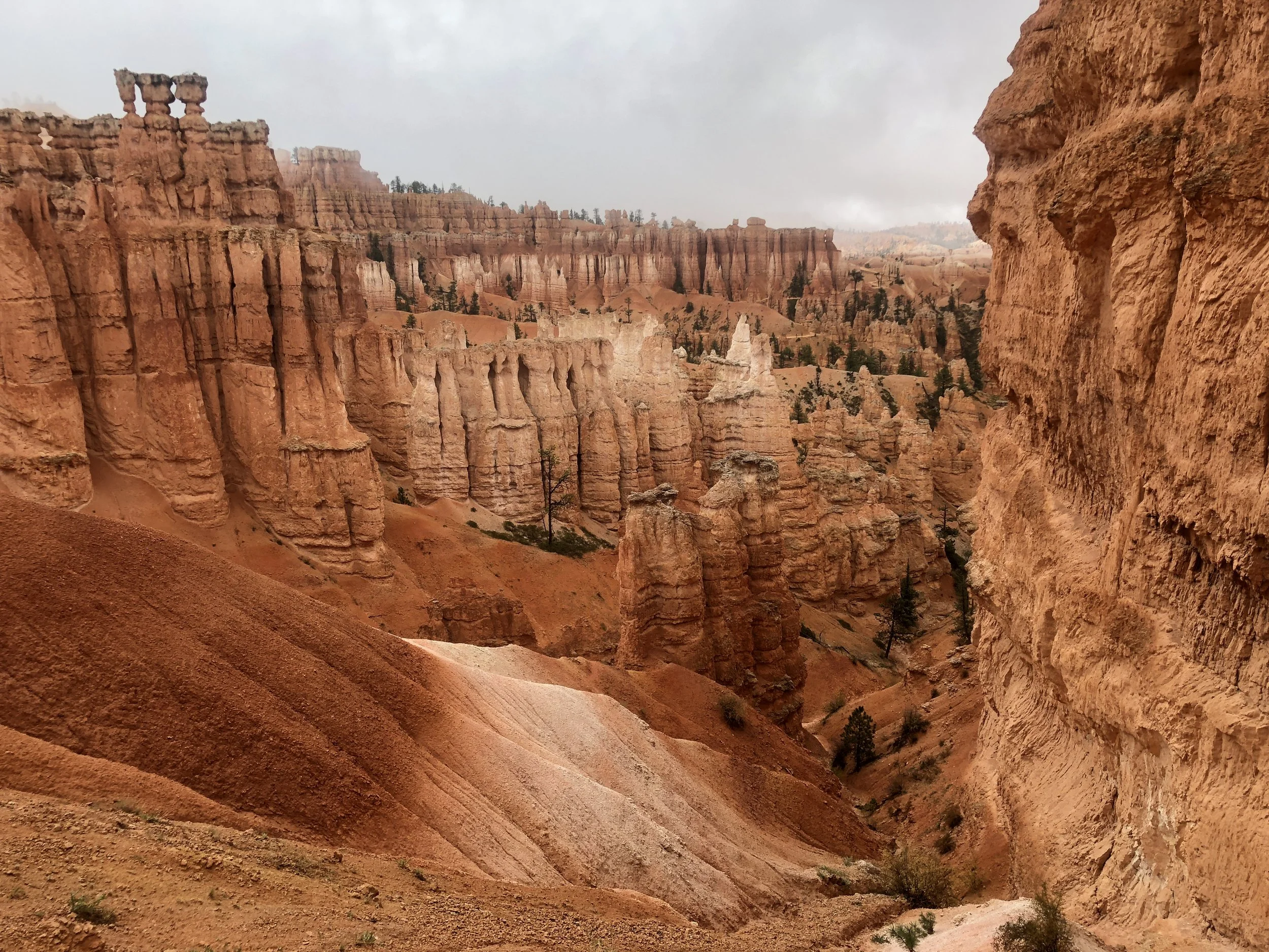
We drove the park road to the other viewpoints, but the fog was so heavy, we were unable to see the landscape. We did get lucky at our last viewpoint and got some great pictures of the Natural Bridge.
We then made our way to Zion National Park to camp for the night. I was able to score us a campsite inside the park and we made a fire to relax in the evening. It ended up raining overnight, and I had planned we do a hike on the famous Narrows trail. This hike travels through the Virgin River upstream through a canyon. I had reserved water shoes and dry pants for this hike. I was informed by the company that the trail was “open”, but just because it’s open doesn’t mean it’s a good idea to hike it. There was a threat of storms and the Narrows can flash flood at any time. We thought we would try the next day instead.
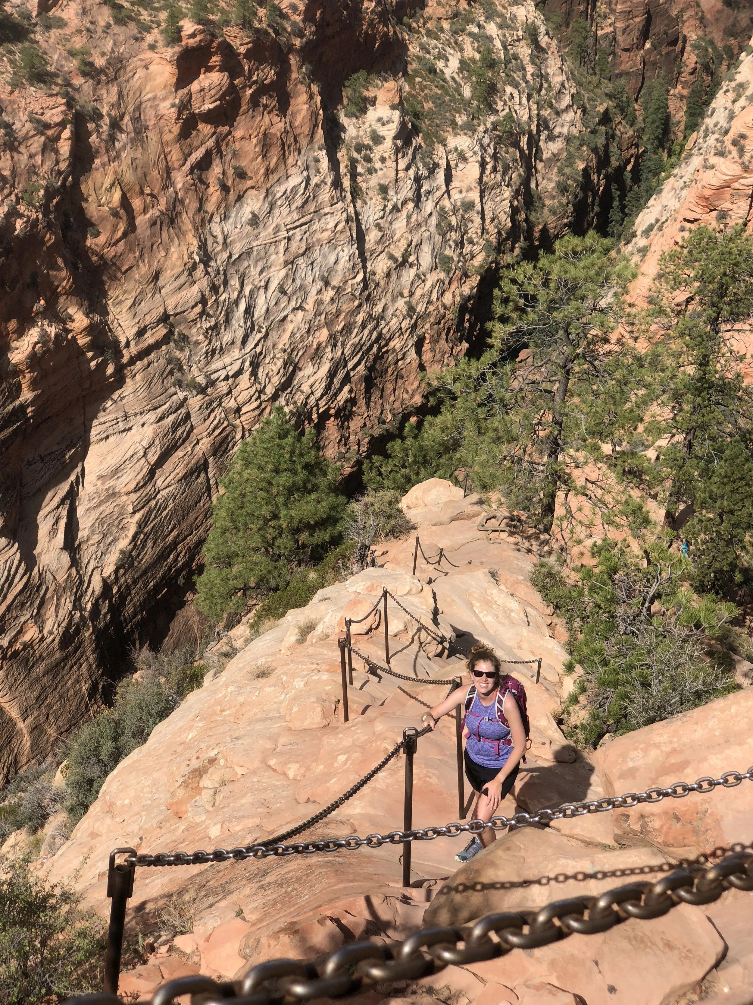
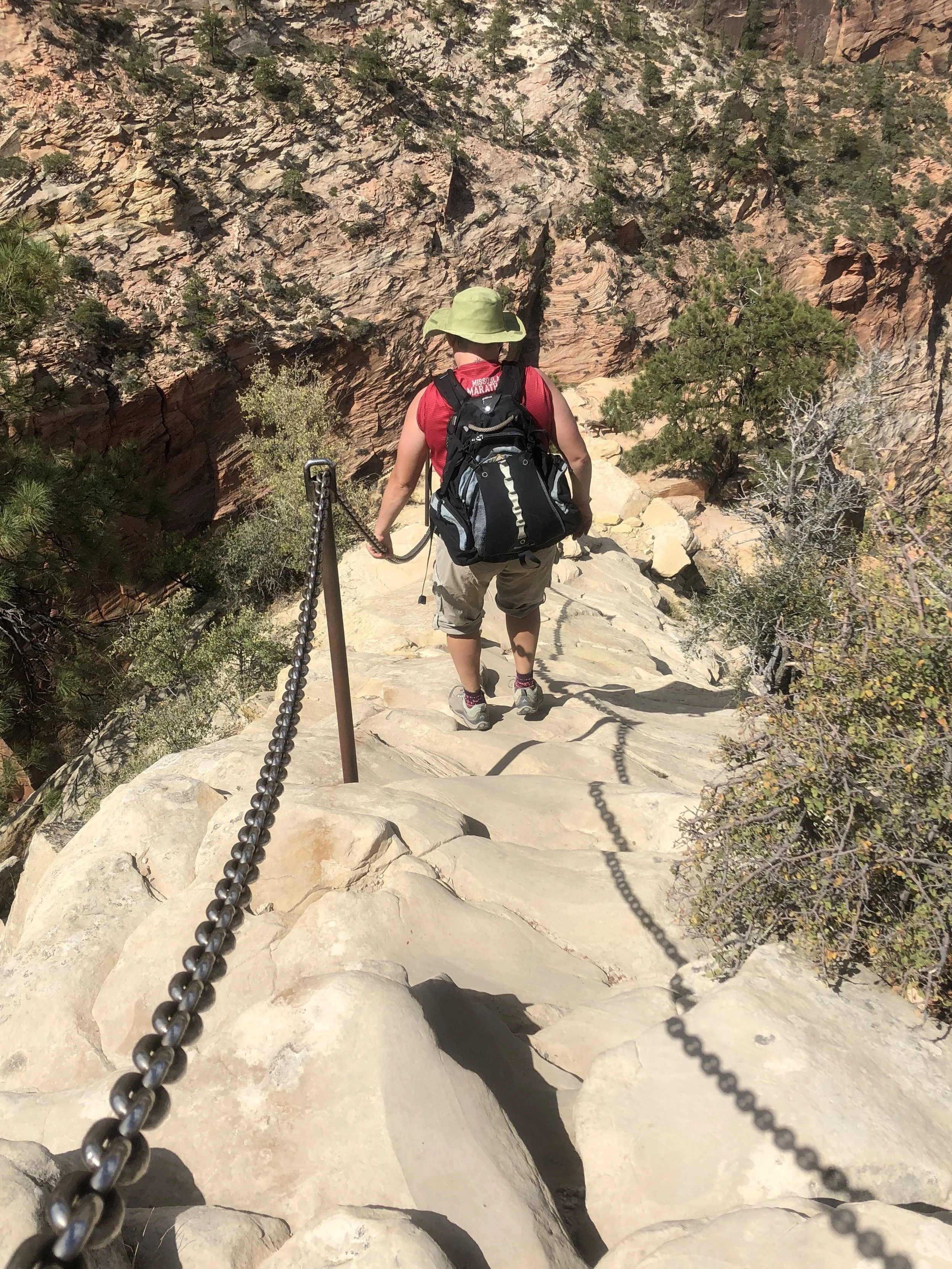
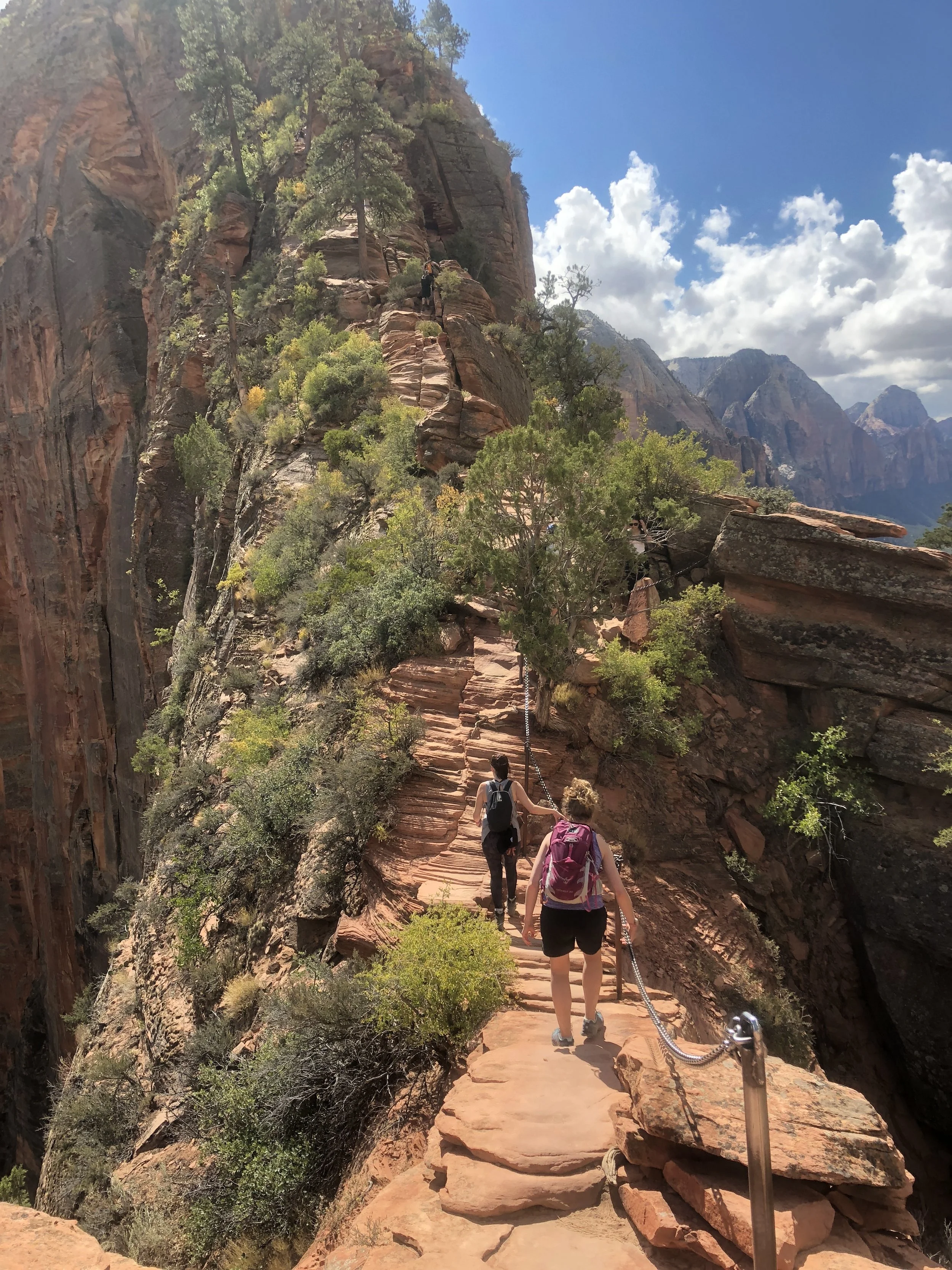
The hike that I was looking forward to most was now on the agenda. The weather looked clear for now. We were told by the ranger that if rain or wind started, to not do this hike. On the bottom, all was well, so we took our chances. The Angels Landing hike is a popular, razor edge traverse, with 1000 foot drop off on both sides. I had watched a video of this hike before arriving to Utah and I was biting my nails watching the video! The hike is chain assisted over the most exposed areas, for the last 0.5 miles to the summit. Signs on the trail warn that this hike is not for those with a fear of heights. I do have a fear of heights, but I couldn’t let that stop me from conquering this trail. The mountain behind me here is Angel’s Landing.
This 5.4-mile hike goes through switchbacks called “Walter’s wiggles” before reaching a plateau. Many people stop here. A sign tells us that 6 people have died from falling off the cliffs since 2004. Much of this hike is mental as well as physical. I had to focus on putting one foot in front of the other and focus on the chains. I tried not to look down during the trek, as I didn’t want to psyche myself out. I also think the danger exists with the amount of people hiking the trail. We ran into frequent bottlenecks at some of the more narrow sections. Luckily, every hiker on the trail realized the risks, and no one was ever in a hurry. This is the scariest hike I’ve ever done!







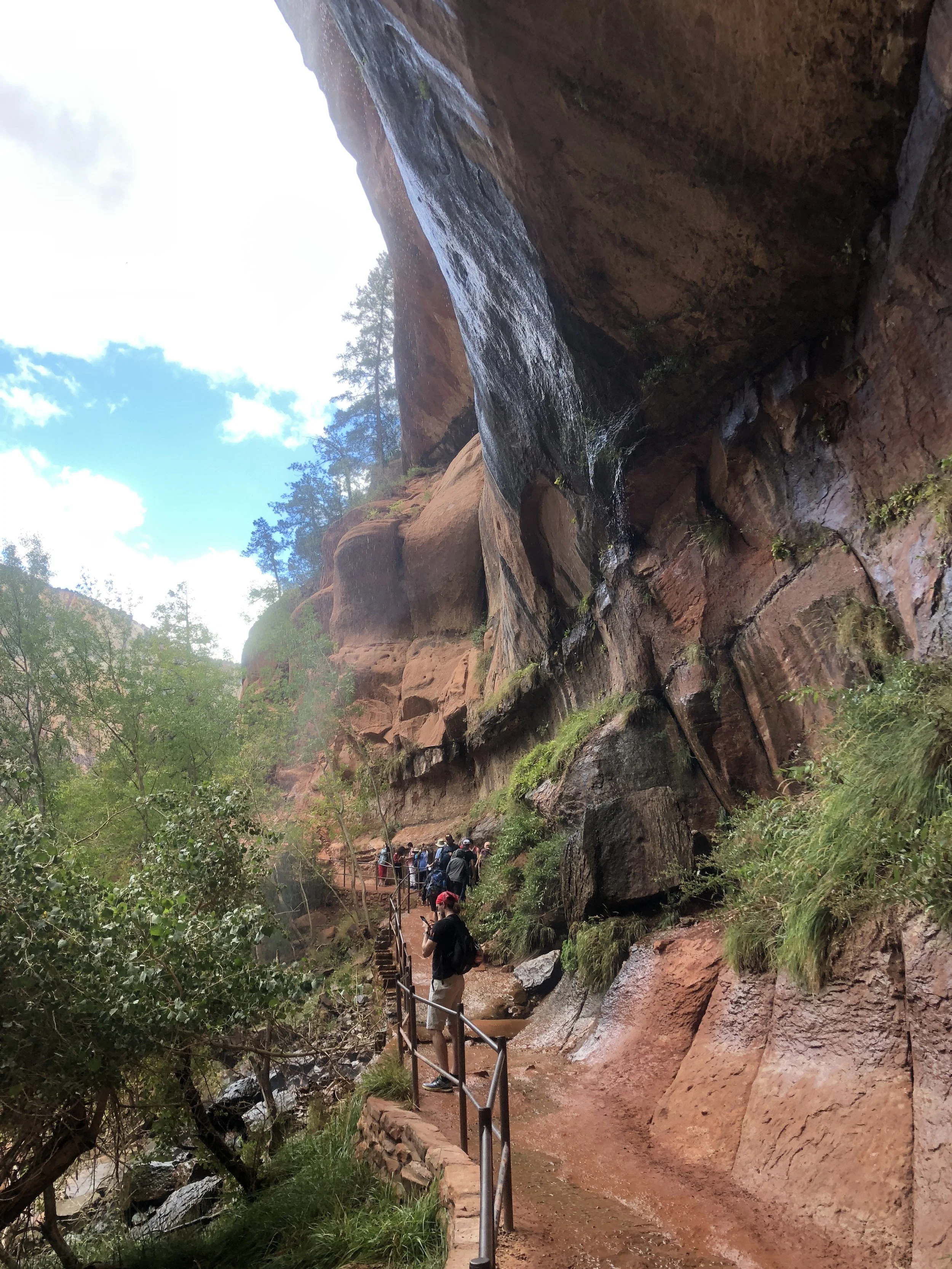
We finished Angels Landing by the early afternoon. We took the park bus to the Zion Inn for ice cream and steamers. Then we took another short hike to the lower Emerald pools. Waterfalls sprayed us from above the trail.



Back at camp, I think we both jumped into the back of the van right away to rest our weary legs. It poured again overnight, so we were not able to do the Narrows hike that next morning, which was just as well. My stomach has been aching me ever since I got back from Africa, but I was starting to feel worse than usual that morning. I was also having trouble walking due to muscle soreness from Angels Landing. I was surprised that my arms and pecks were also sore from lifting myself up with the chains! With all the rain and the weather looking clearer at our next destination, we decided to take off from Zion and make our way to Page, AZ. On the way, we made a pit stop to the Coral Sand Dunes.


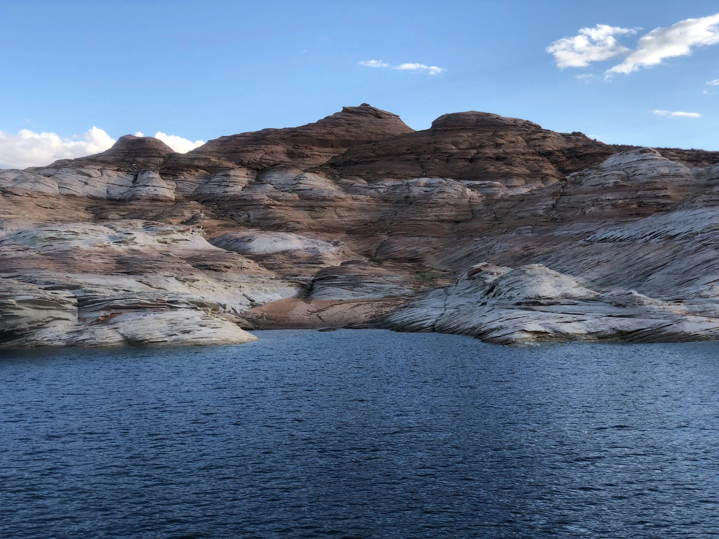
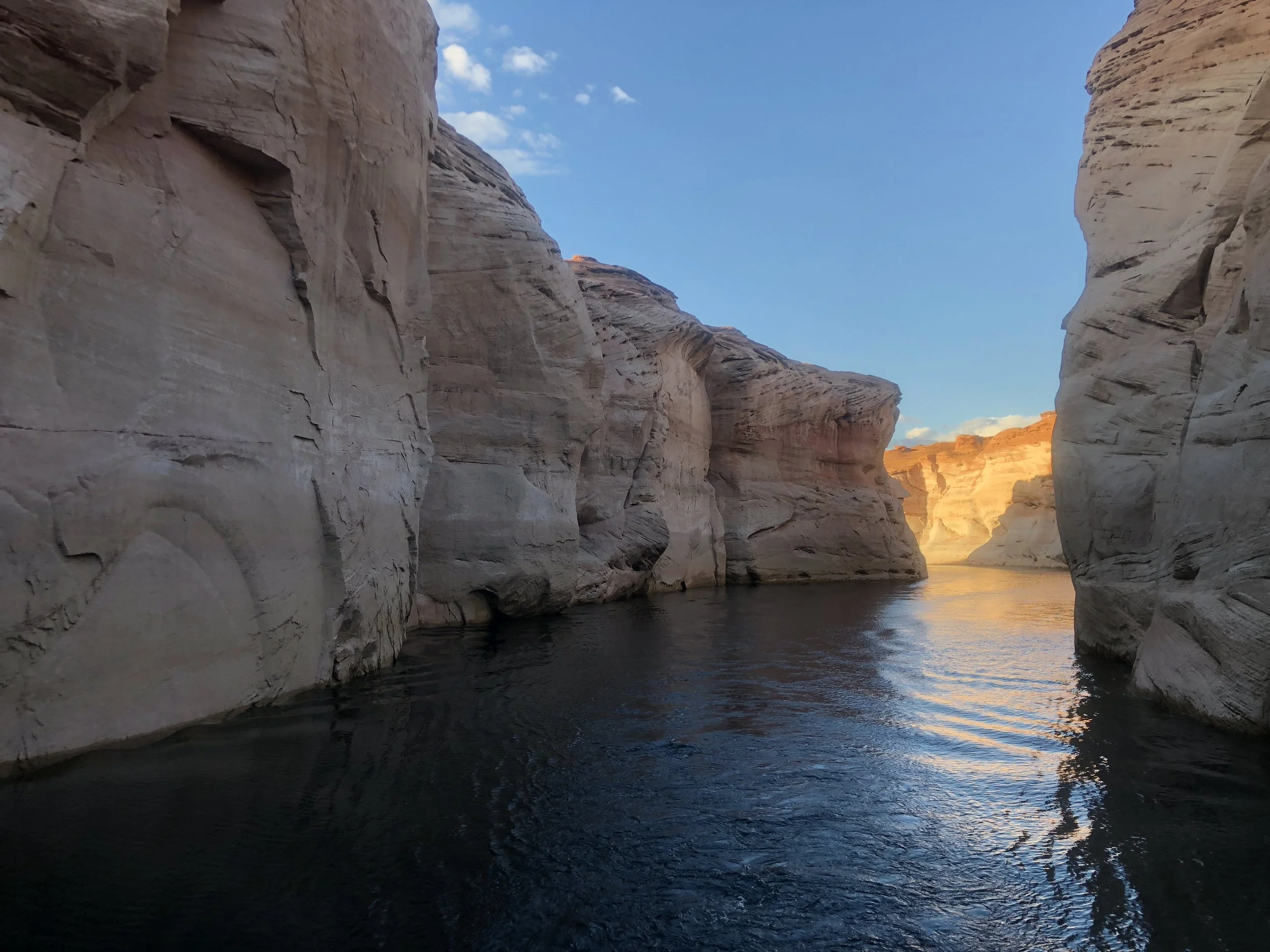
Our campground was on Lake Powell, a very large man made lake through a canyon. A local told me it took 17 years to fill the lake. We arrived early and carried our camp chairs to the beach and sat and relaxed for a bit. That evening, we took a boat trip through lower Antelope Canyon to experience this beautiful lake. We were the youngest people on the tour.
I had been feeling nauseated throughout the day, but my symptoms had gotten worse by the end of the boat trip. I got sick in the camp bathroom and went to bed without dinner. I was sick throughout the night, and opened the van door to get some air. It was nice to lay there and watch the stars from the open van door. The marathon was in 2 days, and I was thinking the worst, that I may not be able to run it.
I felt a little better the next morning. I threw away the rest of the antibiotic I was taking for malaria, figuring missing the last 4 doses would be okay in light of my symptoms. Not sure whether this was a reaction to the drug or a stomach flu, I medicated my symptoms in hopes of getting better quick. We left camp early and went to Horseshoe Bend. We hiked a short distance to the viewpoint, where the river bends.
I had reservations to hike Upper Antelope Canyon, an easy ¼ mile walk with a Navajo guide. I was looking forward to this tour after seeing pictures of this colorful canyon. Andrea did not secure reservations, but she took her chances and came with me to try to secure a spot, which she did!! We heard there was a road closed and the company had received some cancellations that morning.
We all piled into the back of an open truck, with one seat belt per 2 people. We drove on pavement for 3 miles, before we hit a sandy, dirt road for an additional 3 miles. Our drivers seemed to be racing one another.
Once at the canyon, we were instructed to stay with our guide at all times. She was very knowledgeable about the canyon, and showed us pictures on her phone of what the canyon looked like when flooded. She showed us where we should take pictures and guided us through in a way that we could take pictures without other people being in our shots.


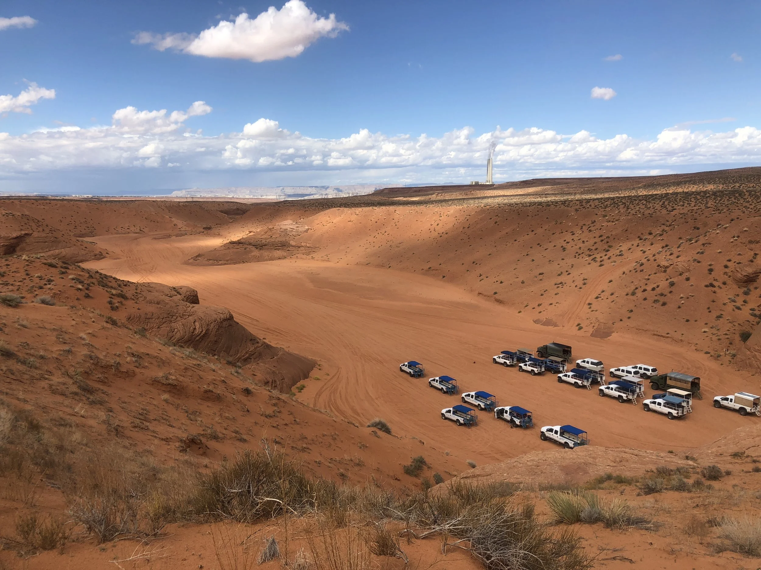
Once through, we hiked over the canyon. You could see how the water carved out the area, the trucks taking the road that is sometimes covered by flash floods.
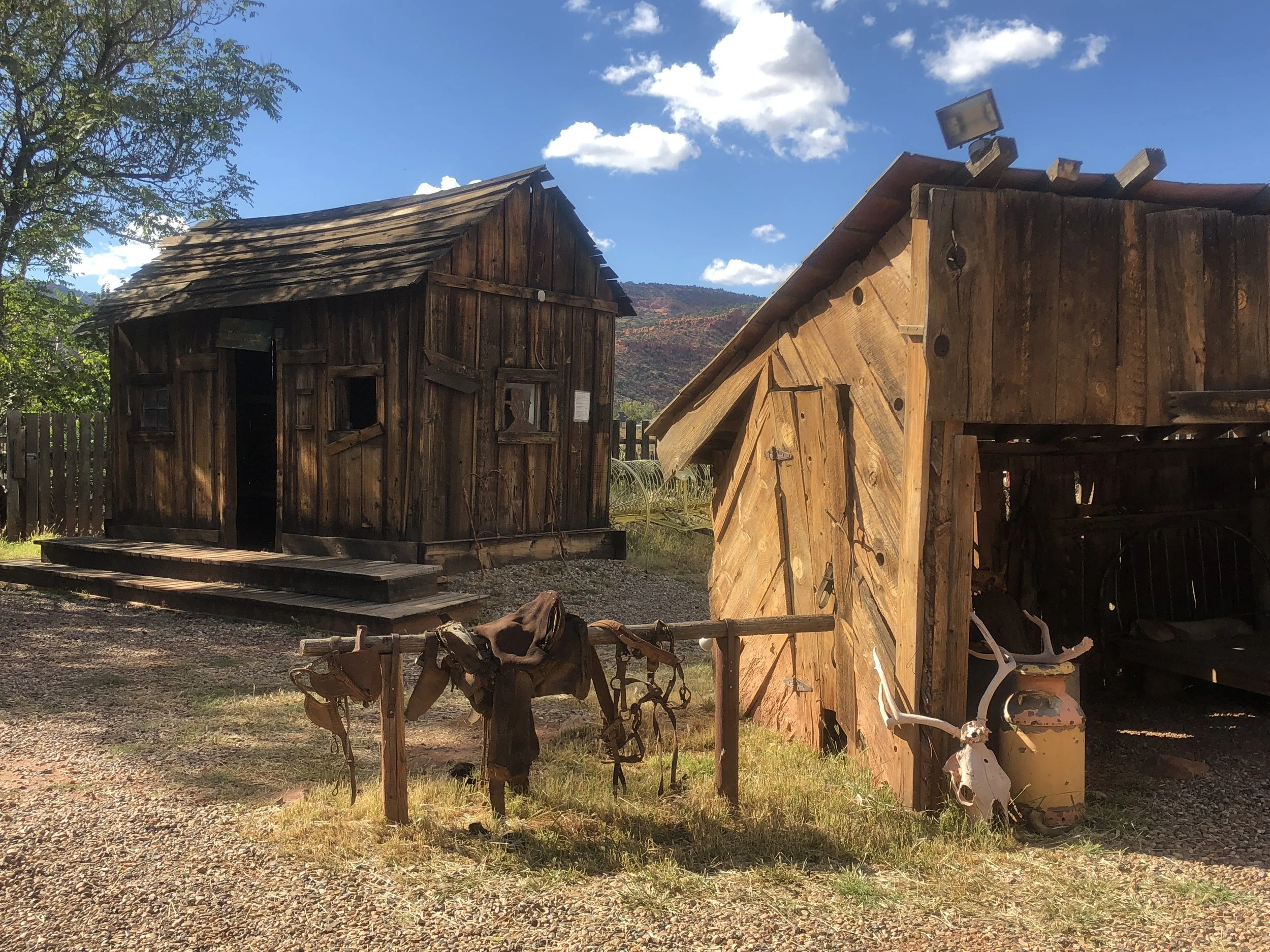
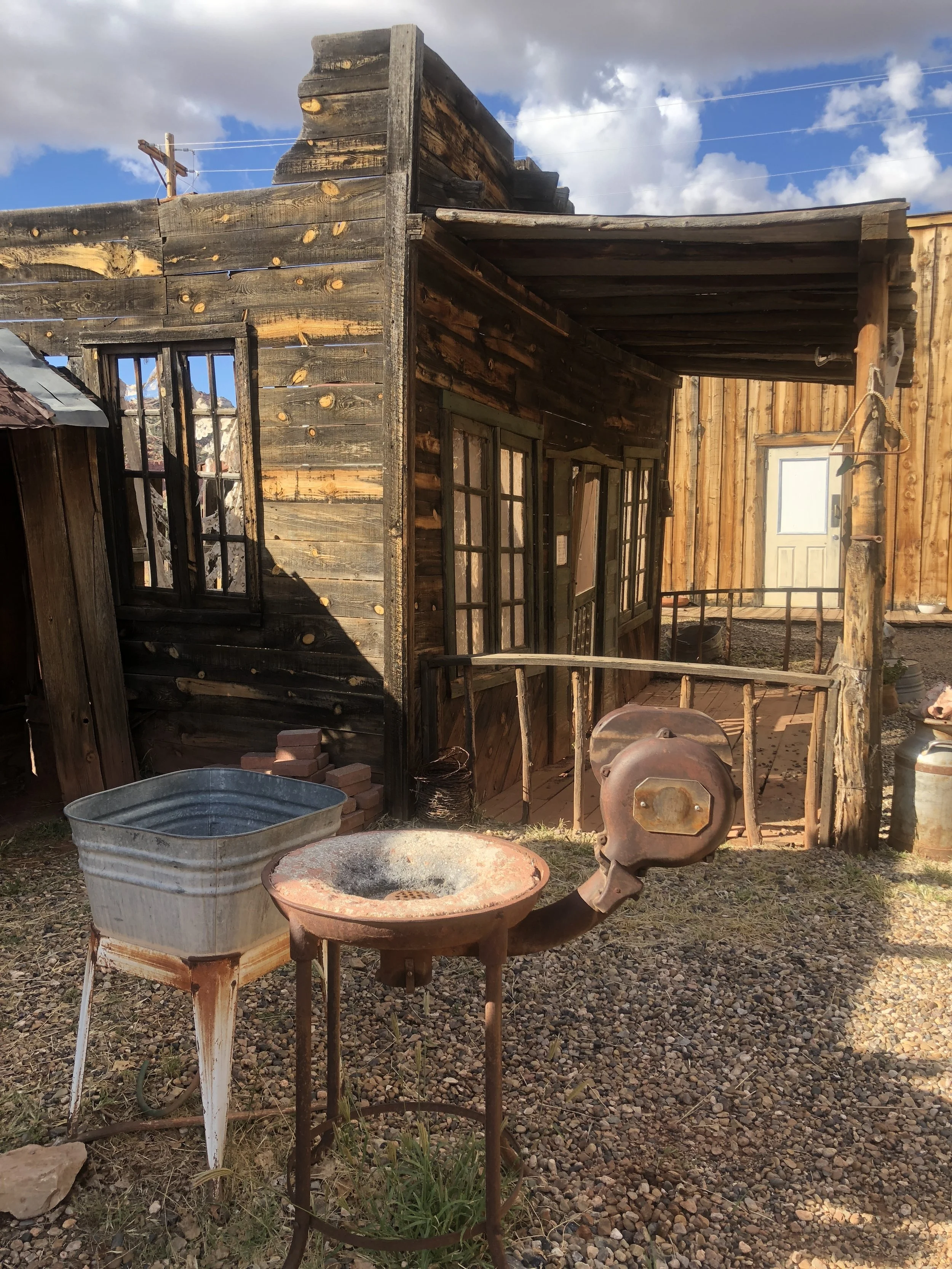
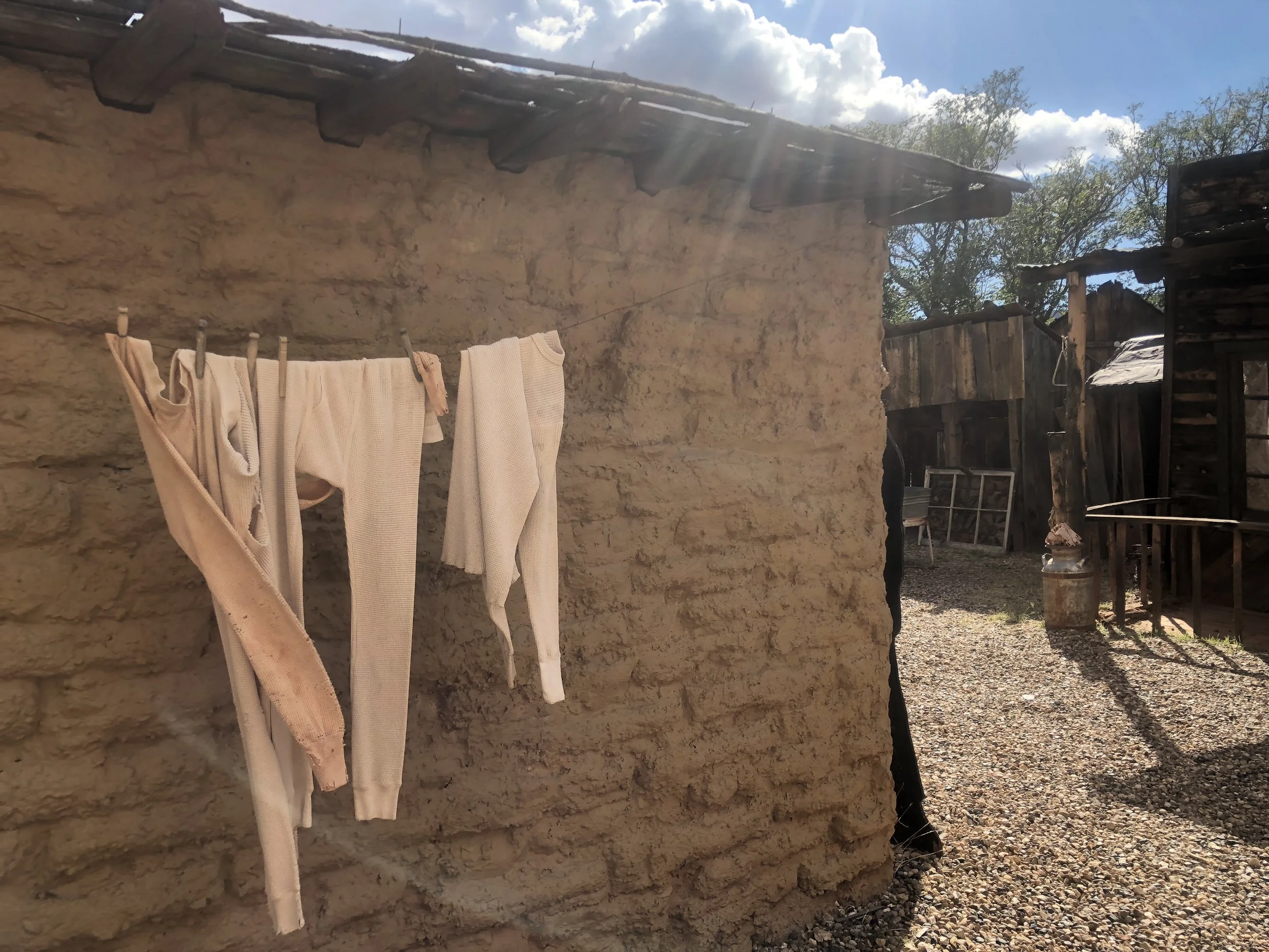
After the tour, we started our drive to St. George. On the way, we stopped in the town of Kanab and visited Frontier movie town. This free museum has movie sets from movies that were filmed in the area. It was a worthwhile stop.
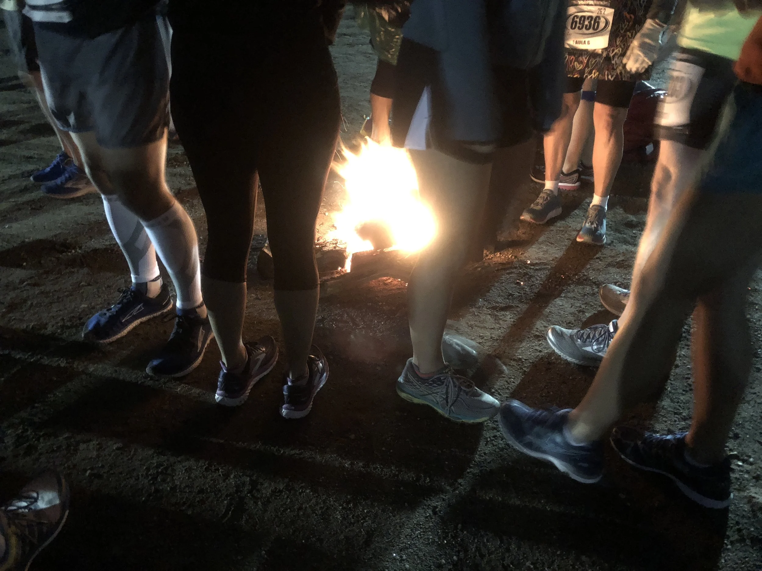
We made our way now to St. George, the town where the marathon was held. We went to pick up my race number, and ate at the $10 all you can eat spaghetti dinner. I was feeling better, so I decided I would run the race. I awoke at 3:45 am the next morning to be ready to take the campground shuttle bus to downtown. There, I got onto another shuttle that took us to the race start, 26.2 miles away. The bus ride took about 45 minutes, and I met a doctor on the bus who peaked my interest in psych nursing again. We arrived at the top of the mountain we were to run down, in brisk 30-40 degree temperatures. There were little campfires everywhere, burning to keep the runners warm.
My stomach was bothering me until about mile 18, when the discomfort subsided. This is probably because at this mileage, muscular discomforts begin. The sag wagon was looking pretty good in those early miles, but wasn’t necessary, so I kept going. I was surprised by the amount of people who did drop out of the race, there were 5 sag wagons picking up runners unable to finish. It was raining most of the time, but when it stopped raining, the temperatures were perfect for running. I finished in 5:22:06, better than I thought!
Andrea and I sat in the campground’s hot tub after the race and spoke to other campers visiting the area. We learned that the senior Olympics were starting that Monday, and there were 11,000 seniors (over aged 50) anticipated to come and participate in the games.
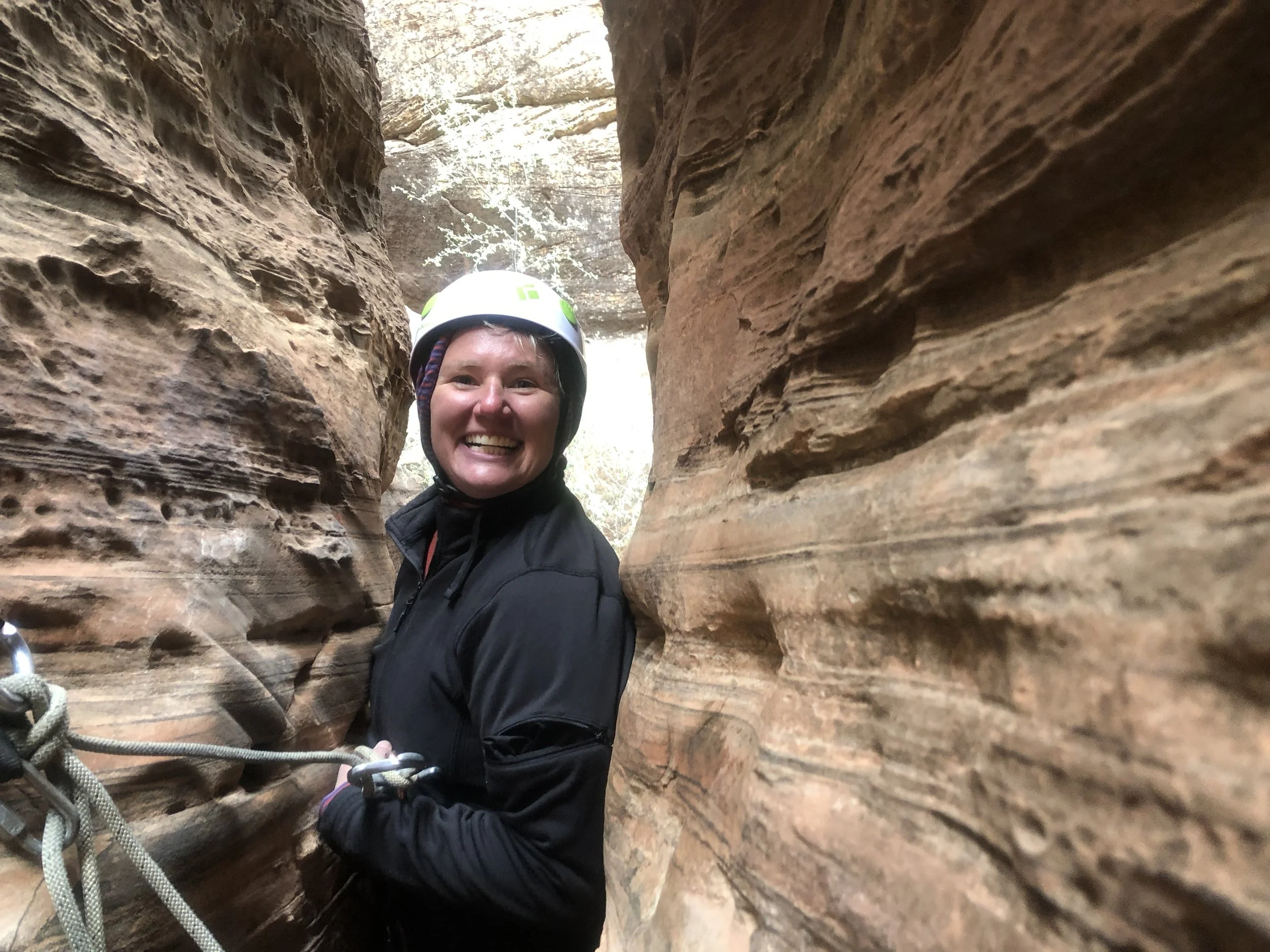
I took Andrea to the airport in St. George early the next morning. I wasn’t leaving until Monday. I had pre booked a canyoneering trip in Zion for that morning, so I made the drive back to the National Park. I met my guide at the shop and dropped off the camper van outside of town to allow me to park for free. I hopped into the truck with my guide and we drove to the canyon. We donned our harnesses and helmets and started the hike to the canyon. As we were hiking on precarious ground, I realized I needed to get my wits about me. Did I bite off more than I could chew?
We arrived at the top of the canyon and Kara (my guide), started setting up the ropes so that we could repel down. It was cold that day, and I was wearing 3 layers. My hands were so cold, that I couldn’t feel the rope in my break hand, the hand that prevents me from falling. I put my hands in my armpits to warm them up, then I repelled down the canyon.
At the bottom of the canyon, there was a slot we needed to squeeze through. It was a lot of fun negotiating the crack. I had no idea what canyoneering was until I took this trip.
Since it was just the two of us, we had time to do another canyon. The hike up took us to some excellent views of the valley. The descent from this canyon was scary, as the exposure-started right away, and so did the commitment. After a few more repels, we were at the bottom.


I got a huge cinnamon bun after this adventure and made my way toward Salt Lake City in the pouring rain. I camped in Provo, just 45 minutes South of Salt Lake. This was the nicest campground yet. When I finally got out of the van after the long 4-hour drive, I was walking like Frankenstein, so stiff I must have looked comical. The campground clerk gave me a free soda for running the marathon, and also a camp site close to the bathroom (thank you!) It was the coldest night yet, and I had to get out my fleece pants and over shirt to sleep in.
The Utah adventure has come to a close. I used the America the Beautiful Pass to get into all the National Parks, and we saved $140 by doing so. Utah is an amazing, diverse state. I only scratched the surface of the National Parks in this 10-day adventure. I’ll be back with Candace for another visit for sure!!
Next up: Visit home to PA and Hartford marathon!


